

Aufstieg: 2 Stunden 40 Minuten
Abstieg: 50 Minuten
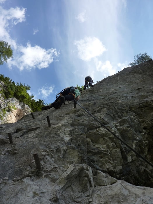
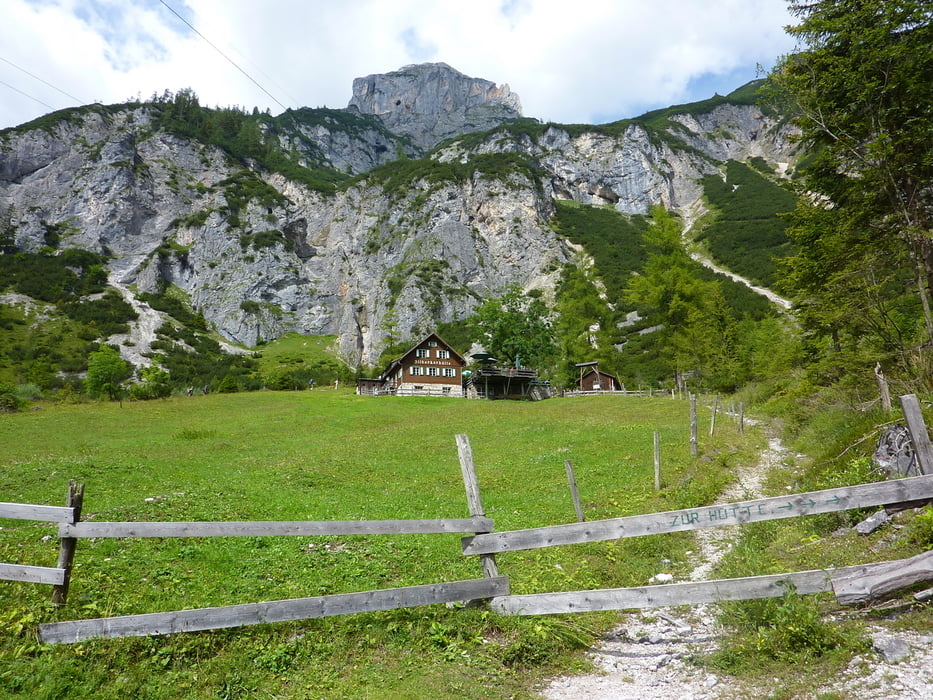
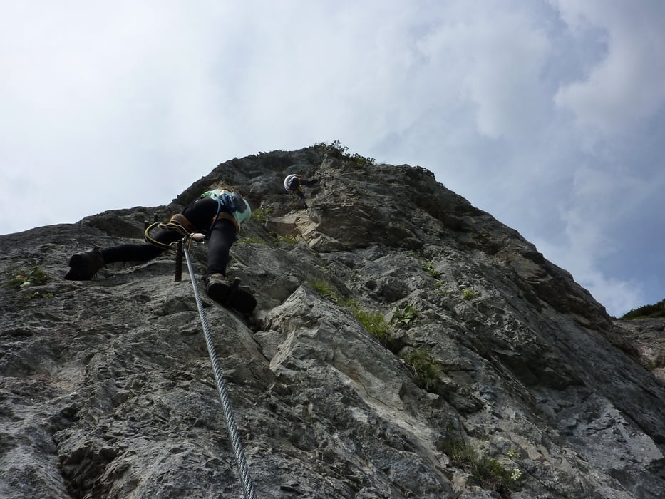
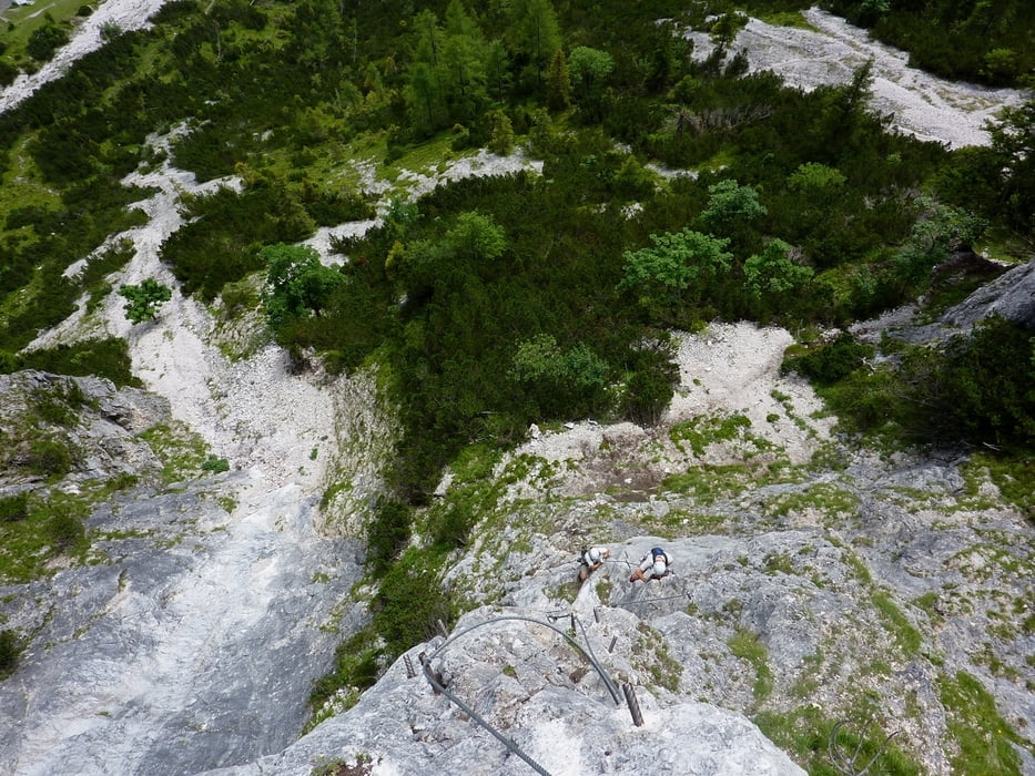
Vom Parkplatz auf dem Weg bergauf zum Eingang in die Silberkarklamm. In der Klamm über die ersten Leitern aufwärts, bis man auf einem Flachstück bei Felsblöcken und Bankerl zum Beginn der Seilbrücke kommt. Nach dem ersten Klettersteig (Hias) weiter zur Silberklammhütte von dort nach links zum Siega Klettersteig ca. 15min.
Abstieg über Steig zur Silberklammhütte und weiter durch die Sielberkarklamm bis zum Ausgangspunkt.
Galerie du tour

Carte du tour et altitude
Minimum height 785 m
Maximum height 1458 m
More about the tour author
|
|
harald07071 |
Commentaires

Von Schladming in die Ramsau und dort Richtung Weißenbach abbiegen zur Silberkarklamm.
Tracks GPS
Trackpoints-
GPX / Garmin Map Source (gpx) download
-
TCX / Garmin Training Center® (tcx) download
-
CRS / Garmin Training Center® (crs) download
-
Google Earth (kml) download
-
G7ToWin (g7t) download
-
TTQV (trk) download
-
Overlay (ovl) download
-
Fugawi (txt) download
-
Kompass (DAV) Track (tk) download
-
Feuille de tours (pdf) download
-
Original file of the author (gpx) download
More about the tour author
|
|
harald07071 |
Add to my favorites
Remove from my favorites
Edit tags
Open track
My score
Rate