Login

Login oublié ?

Cookies have to be accepted!
Your browser's cookie functionality is disabled. Please enable this functionality.

Not a member yet?

Register now
Login

Available for registred users only

Log in to use this feature.

Login oublié ?

Cookies have to be accepted!
Your browser's cookie functionality is disabled. Please enable this functionality.

Not a member yet?

Register now
Filter
Catégories
Advanced filters
  • Longueur (km)
  • Altimètre
Enregistrer le filtre Reset filter

TrackRank

QRCode

Technical data

Longueur30,1 km Altimètre549 m Way down463 m Durée02:00 h:m Date23.08.2010
Evaluations Author Paysage Aspect amusement Condition Technique

Statistiques

767 Vues Evaluations 111 Téléchargements Moyenne
Rate
  • Feuille de tours
  • Arrivée
  • Téléchargements

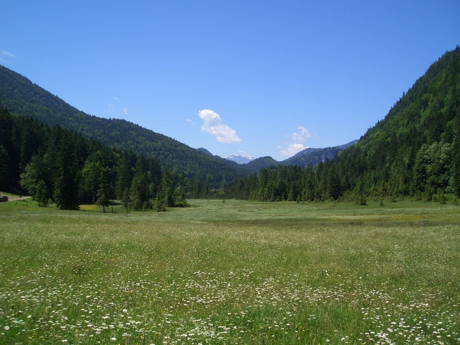
Abwechslungsreiche Trainingsrunde von Lenggries aus in Richtung Jachenau auf guten Forstwegen und mit schönem Blick ins Sonnental Jachenau

Carte du tour et altitude

  • Open Street Map
  • Google
Minimum height 603 m Maximum height 916 m Vue de détail

More about the tour author

schwallex
Member since 2010

Send private message

Commentaires

Bad Tölz - Lenggries - Parkplatz am Lenggrieser Waldfriedhof, unterhalb von Hohenburg


Tracks GPS

Trackpoints
  • GPX / Garmin Map Source (gpx) download
  • TCX / Garmin Training Center® (tcx) download
  • CRS / Garmin Training Center® (crs) download
  • Google Earth (kml) download
  • G7ToWin (g7t) download
  • TTQV (trk) download
  • Overlay (ovl) download
  • Fugawi (txt) download
  • Kompass (DAV) Track (tk) download
  • Feuille de tours (pdf) download
  • Original file of the author (gpx) download

More about the tour author

schwallex
Member since 2010

Send private message
Share track
Add to my favorites
Remove from my favorites
Edit tags
My score
Rate
Tour: Trainingstour Lenggries nach Höfen
Cat.: Mountainbike
Longueur: 30,1 km
Evaluated on:
Durée:
Day(s)
Hour(s)
Minute(s)
Evaluation: Paysage Aspect amusement Condition Technique