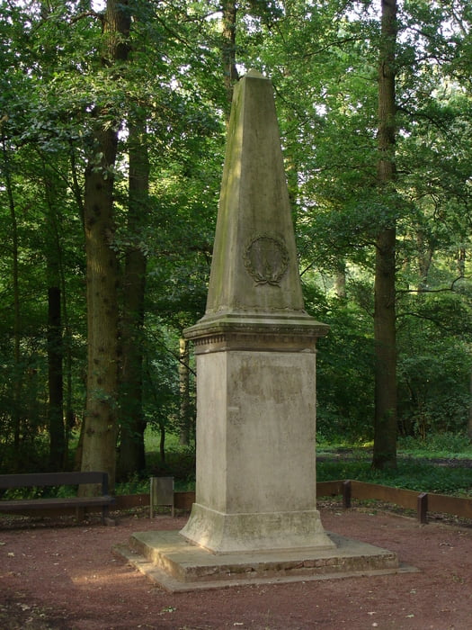
Bei dieser Wanderung geht man durch Feld und Wiesen auf kleinen wenig befahrenen kleinen Teerstraßen und durch auf Wald und Forstwegen durch den Bentheimer Wald.
Diese Wanderung nennt sich Rundweg Quendorf und is in der Wanderkarte von Bad Bentheim mit einer 17 gekennzeichnet.
Galerie du tour
Carte du tour et altitude
Minimum height 37 m
Maximum height 50 m
Commentaires

Parkplatz Bentheimer Mineral Therme am Bade 1
Tracks GPS
Trackpoints-
GPX / Garmin Map Source (gpx) download
-
TCX / Garmin Training Center® (tcx) download
-
CRS / Garmin Training Center® (crs) download
-
Google Earth (kml) download
-
G7ToWin (g7t) download
-
TTQV (trk) download
-
Overlay (ovl) download
-
Fugawi (txt) download
-
Kompass (DAV) Track (tk) download
-
Feuille de tours (pdf) download
-
Original file of the author (gpx) download
Add to my favorites
Remove from my favorites
Edit tags
Open track
My score
Rate


