Login

Login oublié ?

Cookies have to be accepted!
Your browser's cookie functionality is disabled. Please enable this functionality.

Not a member yet?

Register now
Login

Available for registred users only

Log in to use this feature.

Login oublié ?

Cookies have to be accepted!
Your browser's cookie functionality is disabled. Please enable this functionality.

Not a member yet?

Register now
Filter
Catégories
Advanced filters
  • Longueur (km)
  • Altimètre
Enregistrer le filtre Reset filter

TrackRank

QRCode

Technical data

Longueur5,5 km Altimètre109 m Way down98 m Durée01:16 h:m Date26.08.2010
Evaluations Author Paysage Aspect amusement Condition Technique

Statistiques

93 Vues Evaluations 5 Téléchargements Moyenne
Rate
  • Feuille de tours
  • Arrivée
  • Téléchargements

18.8.2010

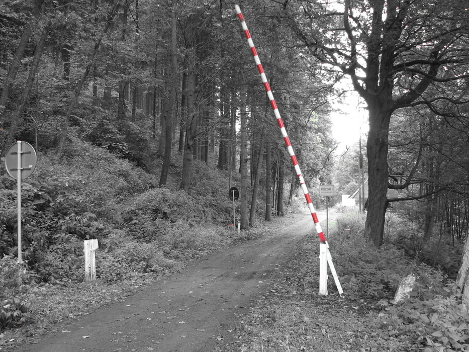
Z Petříkovic do Poľska, potom po tamojšej zelenej značke (v úvode cez burinu a "nikade") vedúcej po hranici s ČR, tade nad Chvaleč a potom dolu do Chvalče a späť k autu.

Galerie du tour

Carte du tour et altitude

  • Open Street Map
  • Google
Minimum height 410 m Maximum height 505 m Vue de détail

More about the tour author

tmax
Member since 2007

Send private message

Commentaires

Chvaleč - Petříkovice

Tracks GPS

Trackpoints
  • GPX / Garmin Map Source (gpx) download
  • TCX / Garmin Training Center® (tcx) download
  • CRS / Garmin Training Center® (crs) download
  • Google Earth (kml) download
  • G7ToWin (g7t) download
  • TTQV (trk) download
  • Overlay (ovl) download
  • Fugawi (txt) download
  • Kompass (DAV) Track (tk) download
  • Feuille de tours (pdf) download
  • Original file of the author (gpx) download

More about the tour author

tmax
Member since 2007

Send private message
Share track
Add to my favorites
Remove from my favorites
Edit tags
My score
Rate
Tour: 20100818_Z Petříkovic cez Poľsko do Chvalče
Cat.: Randonnées
Longueur: 5,5 km
Evaluated on:
Durée:
Day(s)
Hour(s)
Minute(s)
Evaluation: Paysage Aspect amusement Condition Technique