
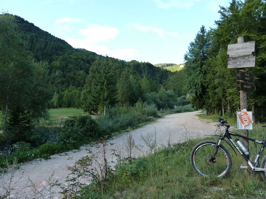

Partiamo dalle malga Brigolina e proseguiamo sulla forestale seguendo i segnali per le Viote. Prima su strada e poi su forestale sempre piu ripida ma sempre pedalabile se non per cortissimi tratti causa sottofondo sconnesso fino a un prato dove inizia sulla sinistra un pezzo da spingere per ca 5 minuti. Oramai siamo quasi arrivati alle Viote e su un grande parcheggio andiamo a destra arriviamo sulla strada del Bondone. Andiamo un pezzettino a sinistra e ci immettiamo su strada sterrata fino ad arrivare di nuovo sulla strada del Bondone. Da li seguiamo verso sinistra la strada fino a Vason e proprio sul passo giriamo a destra e scendiamo per la strada sterrata che scende lungo la pista da sci. A un certo punto a un tornante prendiamo la strada asfaltata e scendiamo alcuni tornanti e entriamo a sinistra e li troviamo un sentiero e da li seguiamo sempre la segnaletica per Brigolina. Qui troviamo alcuni tratti con un sottofondo e una pendenza in discesa abbastanza impegnativa per i meno esperti ma mai pericolosa, al limite si fa a piedi alcuni brevi tratti.
Galerie du tour


Carte du tour et altitude
Minimum height 992 m
Maximum height 1660 m
More about the tour author
|
|
EmilG |
Commentaires

Tracks GPS
Trackpoints-
GPX / Garmin Map Source (gpx) download
-
TCX / Garmin Training Center® (tcx) download
-
CRS / Garmin Training Center® (crs) download
-
Google Earth (kml) download
-
G7ToWin (g7t) download
-
TTQV (trk) download
-
Overlay (ovl) download
-
Fugawi (txt) download
-
Kompass (DAV) Track (tk) download
-
Feuille de tours (pdf) download
-
Original file of the author (gpx) download
More about the tour author
|
|
EmilG |
Add to my favorites
Remove from my favorites
Edit tags
Open track
My score
Rate