


Die Anreise erfolgt über die mautpflichtige Straße zur Staumauer im Maltatal.
Aufgrund der Länge und des Abstiegs zur Osnabrückerhütte würde ich die Tour als schwierig einstufen. Man sollte auf jeden Fall trittsicher und schwindelfei sein. Die Länge der Tour wird mit 7-8 Stunden angegeben, wir waren einschließlich der Pausen 9,5 Std unterwegs.
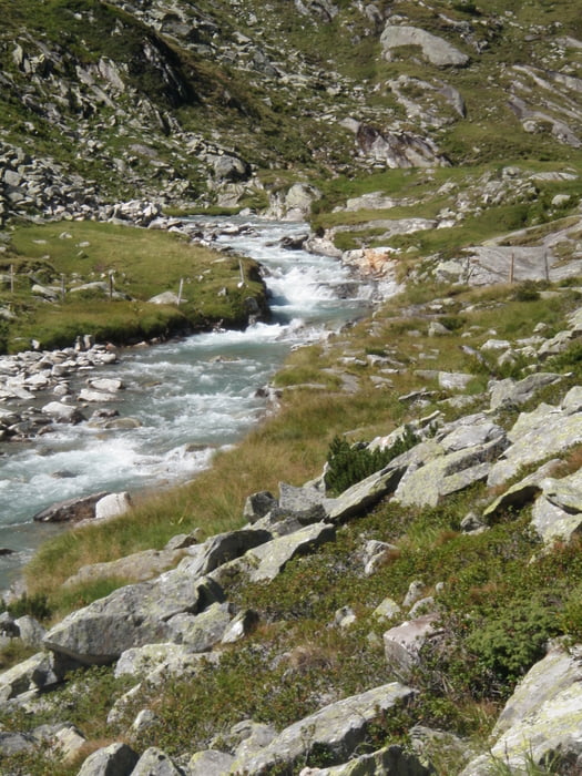
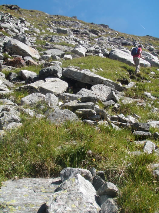
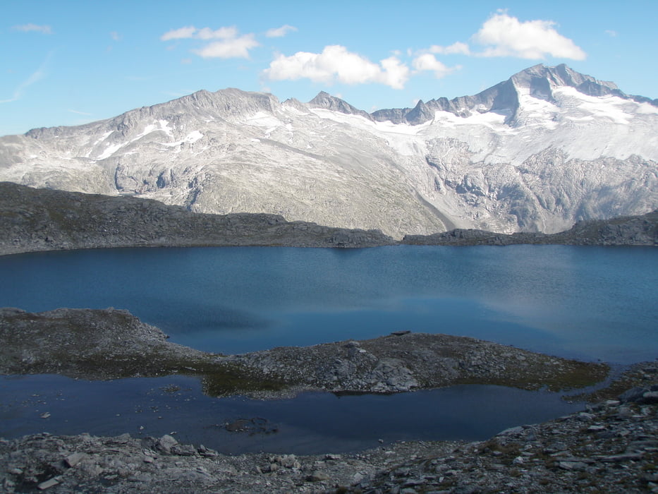
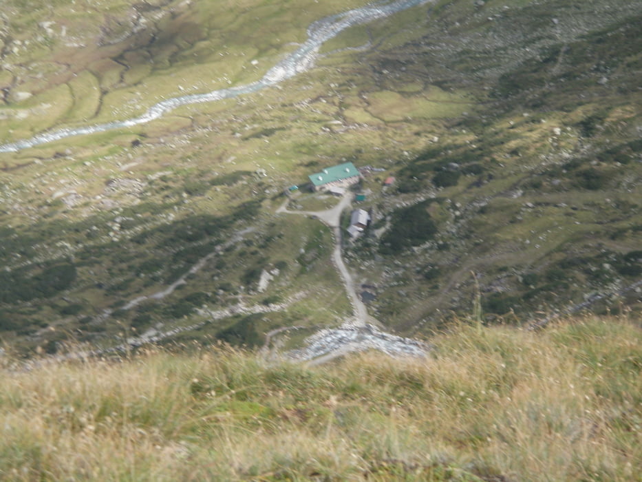
Galerie du tour
Carte du tour et altitude
Minimum height 1820 m
Maximum height 2674 m
More about the tour author

|
herby1960 |
Commentaires

Tracks GPS
Trackpoints-
GPX / Garmin Map Source (gpx) download
-
TCX / Garmin Training Center® (tcx) download
-
CRS / Garmin Training Center® (crs) download
-
Google Earth (kml) download
-
G7ToWin (g7t) download
-
TTQV (trk) download
-
Overlay (ovl) download
-
Fugawi (txt) download
-
Kompass (DAV) Track (tk) download
-
Feuille de tours (pdf) download
-
Original file of the author (gpx) download
More about the tour author
|
|
herby1960 |
Add to my favorites
Remove from my favorites
Edit tags
Open track
My score
Rate