


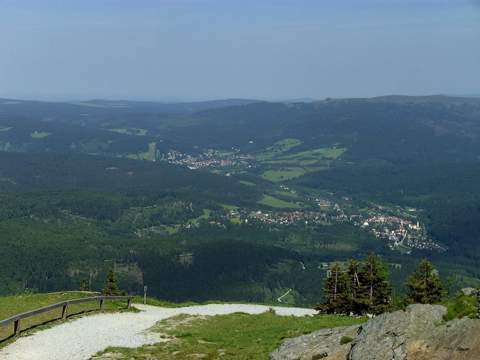
Der König der Berge des Bayerischen Waldes soll heute bezwungen werden. Es geht steil nach oben. Bei dem herrlichen Wetter werden wir durch eine gute Sicht für die Strapazen entschädigt.
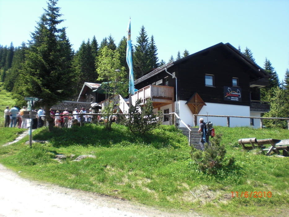
Das Waldsterben hat hier unübersehbare Spuren hinterlassen. Über das Schutzhaus "Kleiner Arber" nähern wir uns unserem Ziel. Auf dem Arber ist es wirklich traumhaft schön. Wir übernachten im Arberschutzhaus, welches erst vor kurzem renoviert wurde. Nachdem die Bergbahn gegen 17:00 Uhr ihren Betrieb eingestellt hat, sind wir fast alleine auf dem Berg.
Further information at
http://www.arberschutzhaus.deGalerie du tour


Carte du tour et altitude
Minimum height 840 m
Maximum height 1446 m
More about the tour author
|
|
Sira |
Commentaires

Tracks GPS
Trackpoints-
GPX / Garmin Map Source (gpx) download
-
TCX / Garmin Training Center® (tcx) download
-
CRS / Garmin Training Center® (crs) download
-
Google Earth (kml) download
-
G7ToWin (g7t) download
-
TTQV (trk) download
-
Overlay (ovl) download
-
Fugawi (txt) download
-
Kompass (DAV) Track (tk) download
-
Feuille de tours (pdf) download
-
Original file of the author (gpx) download
More about the tour author
|
|
Sira |
Add to my favorites
Remove from my favorites
Edit tags
Open track
My score
Rate