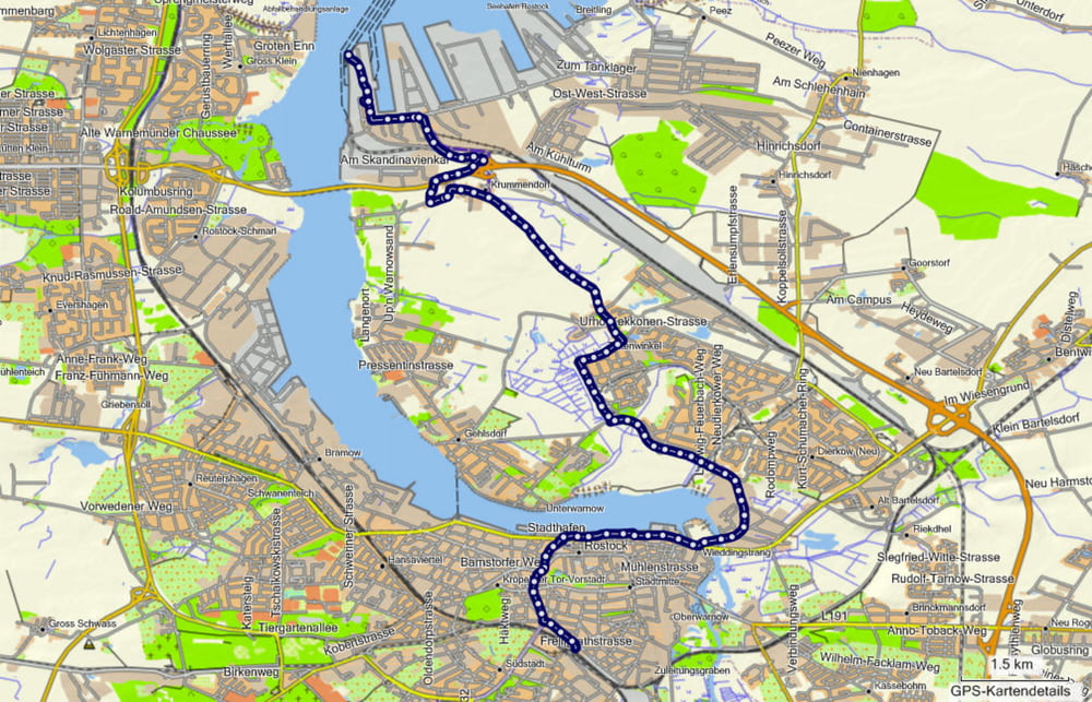
Zwischenetappe vom Nordhafen zum Hauptbahnhof in Rostock.
Tja, was soll ich sagen. Wenn der Weg nach Norden (Kopenhagen) geschafft wurde ist der Rückweg manchmal lästig.
Wir kamen mit der Fähre von Gedser und unser Zug startete am HBF. Also musste die Lücke zwischen den beiden Stationen irgendwie geschlossen werden.
Further information at
http://de.wikipedia.org/wiki/S-Bahn_RostockGalerie du tour
Carte du tour et altitude
Minimum height -36 m
Maximum height -22 m
Commentaires

Mit der Fähre von Gedser aus.
Tracks GPS
Trackpoints-
GPX / Garmin Map Source (gpx) download
-
TCX / Garmin Training Center® (tcx) download
-
CRS / Garmin Training Center® (crs) download
-
Google Earth (kml) download
-
G7ToWin (g7t) download
-
TTQV (trk) download
-
Overlay (ovl) download
-
Fugawi (txt) download
-
Kompass (DAV) Track (tk) download
-
Feuille de tours (pdf) download
-
Original file of the author (gpx) download
Add to my favorites
Remove from my favorites
Edit tags
Open track
My score
Rate


