Login

Login oublié ?

Cookies have to be accepted!
Your browser's cookie functionality is disabled. Please enable this functionality.

Not a member yet?

Register now
Login

Available for registred users only

Log in to use this feature.

Login oublié ?

Cookies have to be accepted!
Your browser's cookie functionality is disabled. Please enable this functionality.

Not a member yet?

Register now
Filter
Catégories
Advanced filters
  • Longueur (km)
  • Altimètre
Enregistrer le filtre Reset filter

TrackRank

QRCode

Technical data

Longueur35,1 km Altimètre758 m Way down727 m Durée03:00 h:m Date05.09.2010
Evaluations Author User Paysage Aspect amusement Condition Technique

Statistiques

1132 Vues 1 Evaluation 64 Téléchargements 4.00 Moyenne
Rate
  • Feuille de tours
  • Arrivée
  • Téléchargements

Vom Zotenbacher Bahnhof über Zotzenbach in moderater Steigung hinauf bis zur Tormm (580 hm). Abfahrt nach Waldmichelbach und Strassburg. Aufstieg über Seckenrain, Siedelsbrunn und hinab über den Kunstweg und den Höhenweg (Vöckelsbach) nach Weiher. Ende in Mörlenbach.
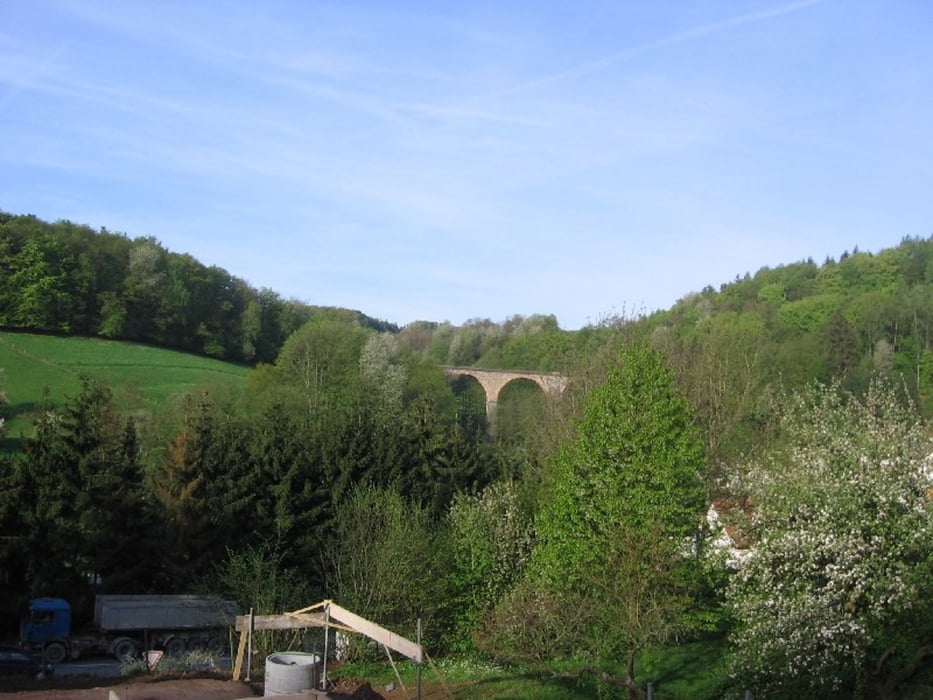
Galerie du tour

Carte du tour et altitude

  • Open Street Map
  • Google
Minimum height 164 m Maximum height 555 m Vue de détail

More about the tour author

snowden
Member since 2009

Send private message

Commentaires


Start am Zotznbacher Bahnhof: Anfahrt mit der Odenwaldbahn (Sonntags stündlich)


Tracks GPS

Trackpoints
  • GPX / Garmin Map Source (gpx) download
  • TCX / Garmin Training Center® (tcx) download
  • CRS / Garmin Training Center® (crs) download
  • Google Earth (kml) download
  • G7ToWin (g7t) download
  • TTQV (trk) download
  • Overlay (ovl) download
  • Fugawi (txt) download
  • Kompass (DAV) Track (tk) download
  • Feuille de tours (pdf) download
  • Original file of the author (gpx) download

More about the tour author

snowden
Member since 2009

Send private message
Share track
Add to my favorites
Remove from my favorites
Edit tags
My score
Rate
Tour: Zotzenbach-Tromm-Wamiba-Siedelsbrunn-Mörlenbach
Cat.: Mountainbike
Longueur: 35,1 km
Evaluated on:
Durée:
Day(s)
Hour(s)
Minute(s)
Evaluation: Paysage Aspect amusement Condition Technique