
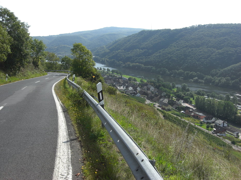

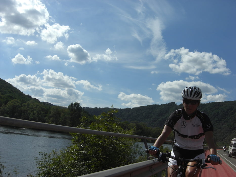
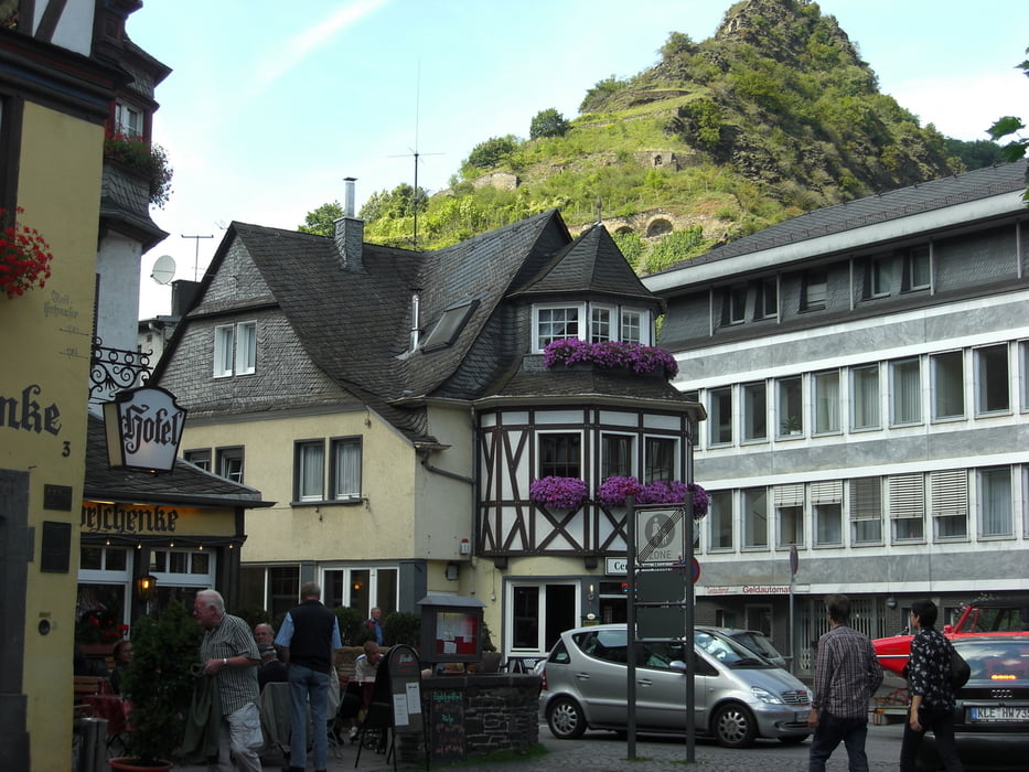
Schöne Tour, startend bei Hubertus Valendars Destillerie in Kail, (besser hinterher in die Probierstube), hinunter nach Pommern. Abstecher nach Treis-Kaden zum Frühstück oder leckerem Kuchen in der Ortsmitte (Cafe gegenüber Touri-Info). Zurück über die Mosel und links weg vom Fluss über eine einsame Seitentalstrasse auf die höher liegenden Gefilde. Über Schwanenkirche, Gestüt Rosenthal (oder so ähnlich) durch den Wald abwärts zu einer Ruine. Tolle Bachdurchfahrt mit anschl. knackigem Anstieg. Weiter zur Hauptstrasse Richtung Illerich (wir sind Umweg gefahren da Abfahrt nach Klotten wg. Autorennen gesperrt war) und hinunter nach Cochem. Der Mosel nach Osten folgen und zum Schluß einen schönen 200m Aufstieg mit tollem Panoramablick auf die Mosel. 80% Asphalt, Rest Feldwege und ein kurzer Trail durch Bach und Wiesenauen.
Galerie du tour

Carte du tour et altitude
Minimum height 77 m
Maximum height 423 m
More about the tour author

|
wali52 |
Commentaires

Tracks GPS
Trackpoints-
GPX / Garmin Map Source (gpx) download
-
TCX / Garmin Training Center® (tcx) download
-
CRS / Garmin Training Center® (crs) download
-
Google Earth (kml) download
-
G7ToWin (g7t) download
-
TTQV (trk) download
-
Overlay (ovl) download
-
Fugawi (txt) download
-
Kompass (DAV) Track (tk) download
-
Feuille de tours (pdf) download
-
Original file of the author (gpx) download
More about the tour author
|
|
wali52 |
Add to my favorites
Remove from my favorites
Edit tags
Open track
My score
Rate