


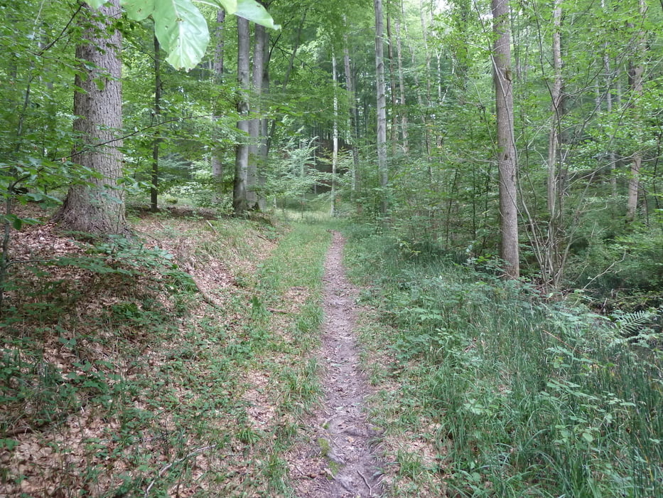
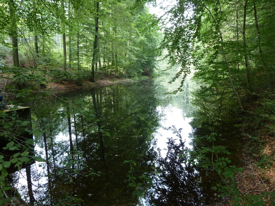
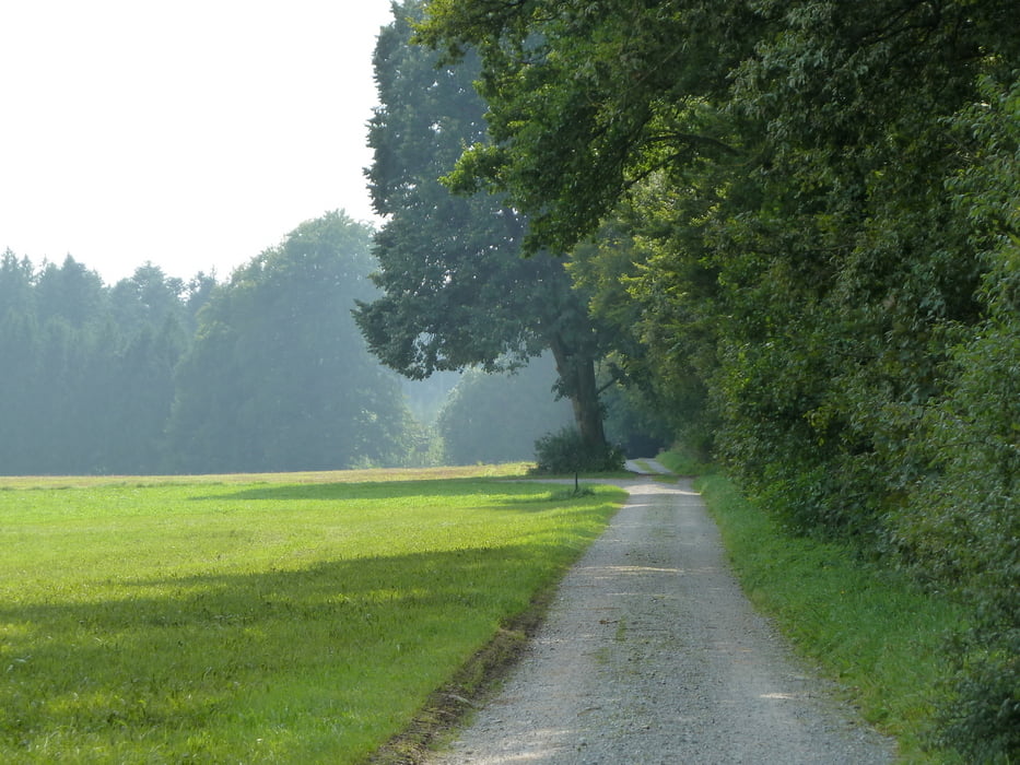
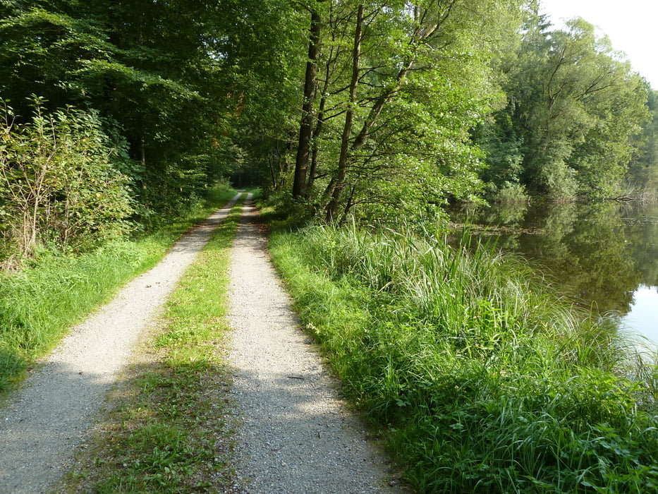
Eine schöne Tour durch die Waldgebiete rund um die Wolfegger Ach, mit vielen Weihern im Wald, leider keine Einkehr unterwegs, teilweise auf dem Jakobsweg Bad Waldsee Baienfurt. Schöne Natur, man trifft fast niemanden unterwegs. Bis auf wenige Meter alles gekieste Wald und Forstwege.
Galerie du tour
Carte du tour et altitude
Minimum height 499 m
Maximum height 654 m
More about the tour author

|
MarkusSpieth |
Commentaires

Start am Wanderparkplatz oberhalb Baienfurt im Ortsteil Köpfingen. Dort gibt es auch eine Einkehrmöglichkeit " Frohe Aussicht", gutes, günstiges Essen, schöne Gartenwirtschaft.
Tracks GPS
Trackpoints-
GPX / Garmin Map Source (gpx) download
-
TCX / Garmin Training Center® (tcx) download
-
CRS / Garmin Training Center® (crs) download
-
Google Earth (kml) download
-
G7ToWin (g7t) download
-
TTQV (trk) download
-
Overlay (ovl) download
-
Fugawi (txt) download
-
Kompass (DAV) Track (tk) download
-
Feuille de tours (pdf) download
-
Original file of the author (gpx) download
More about the tour author
|
|
MarkusSpieth |
Add to my favorites
Remove from my favorites
Edit tags
Open track
My score
Rate