Login

Login oublié ?

Cookies have to be accepted!
Your browser's cookie functionality is disabled. Please enable this functionality.

Not a member yet?

Register now
Login

Available for registred users only

Log in to use this feature.

Login oublié ?

Cookies have to be accepted!
Your browser's cookie functionality is disabled. Please enable this functionality.

Not a member yet?

Register now
Filter
Catégories
Advanced filters
  • Longueur (km)
  • Altimètre
Enregistrer le filtre Reset filter

TrackRank

QRCode

Technical data

Longueur8,6 km Altimètre105 m Way down112 m Durée02:00 h:m Date20.09.2010
Evaluations Author User Paysage Aspect amusement Condition Technique

Statistiques

1266 Vues 1 Evaluation 120 Téléchargements 4.00 Moyenne
Rate
  • Feuille de tours
  • Arrivée
  • Téléchargements

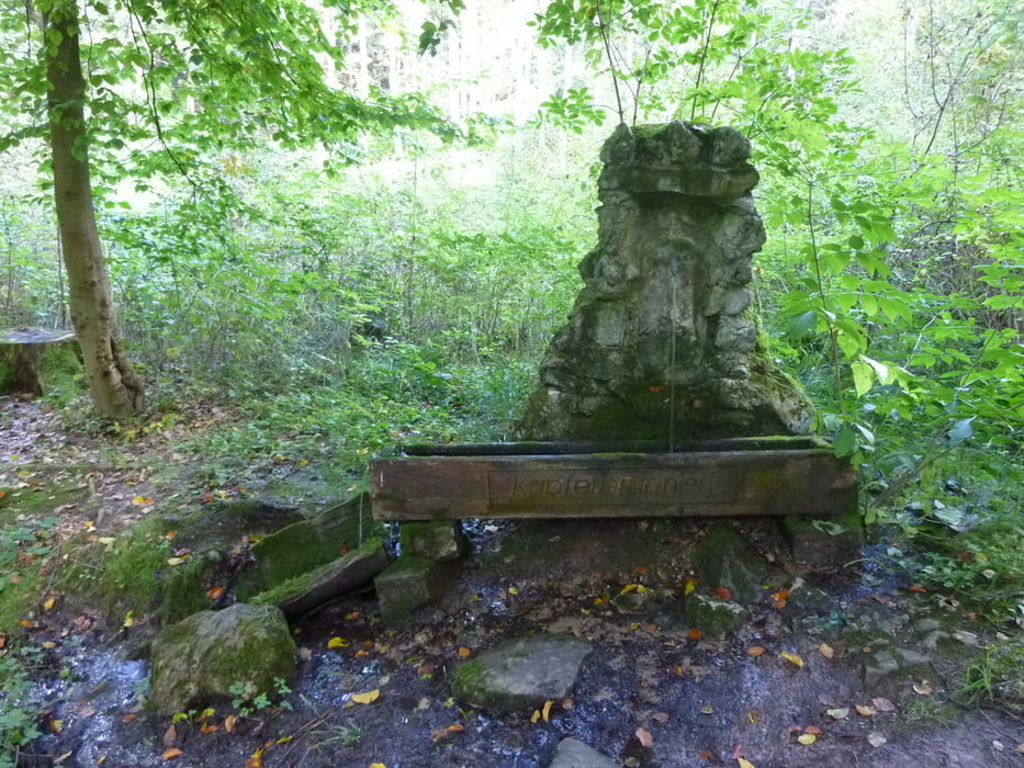
Nette kleine Runde um Ummerstadt, die an meheren Teichen/Seen vorbei führt. Gerade im Herbst durch die vielen Laubbäume schön anzusehen.

Wer mehr lesen möchte, klickt bitte auf untenstehenden Link.


Further information at

http://www.wandern-im-coburger-land.de/ummerstadt.html

Galerie du tour

Carte du tour et altitude

  • Open Street Map
  • Google
Minimum height 285 m Maximum height 379 m Vue de détail

More about the tour author

screwtapecoburg
Member since 2009

Send private message

Commentaires

Direkt nach Ummerstadt fahren und auf dem "Marktplatz" parken. Kostenfrei. Der Rundweg führt direkt wieder zum Auto.

Tracks GPS

Trackpoints
  • GPX / Garmin Map Source (gpx) download
  • TCX / Garmin Training Center® (tcx) download
  • CRS / Garmin Training Center® (crs) download
  • Google Earth (kml) download
  • G7ToWin (g7t) download
  • TTQV (trk) download
  • Overlay (ovl) download
  • Fugawi (txt) download
  • Kompass (DAV) Track (tk) download
  • Feuille de tours (pdf) download
  • Original file of the author (gpx) download

More about the tour author

screwtapecoburg
Member since 2009

Send private message
Share track
Add to my favorites
Remove from my favorites
Edit tags
My score
Rate
Tour: Ummerstadter Runde
Cat.: Randonnées
Longueur: 8,6 km
Evaluated on:
Durée:
Day(s)
Hour(s)
Minute(s)
Evaluation: Paysage Aspect amusement Condition Technique