
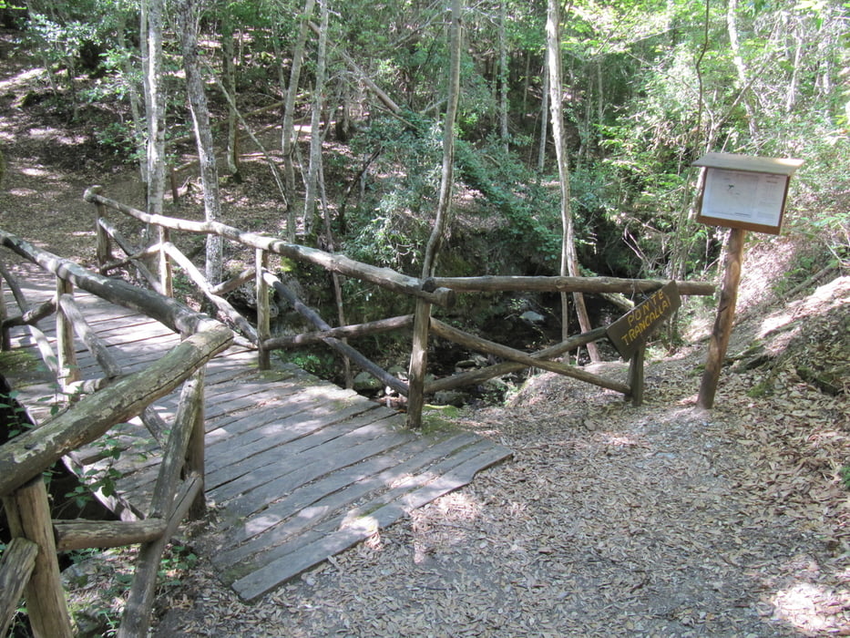

eine sehr schöne, zumeist schattige Wanderung mit einem gemütlichen Vesperplatz.
Wir haben dort einfach die Nacht verbracht und die wunderbare Ruhe genossen.
Gegenüber war eine Baustelle und es sah aus, als wollte man dort Wohnmobilstellplätze errichten.
Galerie du tour


Carte du tour et altitude
Minimum height 841 m
Maximum height 1322 m
More about the tour author
|
|
Genoveva |
Commentaires

auf der SS 198 nach Ussasai der Beschilderung Montarbu folgen.
Nach einigen geteerten Kilometern geht das Sträßlein in einen recht unwegsamen Schotterweg über, aber einen Unimog braucht man nicht ;-)
Tracks GPS
Trackpoints-
GPX / Garmin Map Source (gpx) download
-
TCX / Garmin Training Center® (tcx) download
-
CRS / Garmin Training Center® (crs) download
-
Google Earth (kml) download
-
G7ToWin (g7t) download
-
TTQV (trk) download
-
Overlay (ovl) download
-
Fugawi (txt) download
-
Kompass (DAV) Track (tk) download
-
Feuille de tours (pdf) download
-
Original file of the author (gpx) download
More about the tour author
|
|
Genoveva |
Add to my favorites
Remove from my favorites
Edit tags
Open track
My score
Rate