


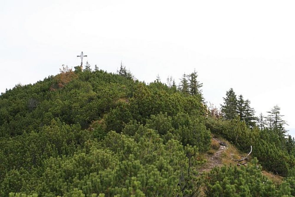
Schöne und einsame Wanderung auf den Sonnenberg hoch über Garmisch-Partenkirchen
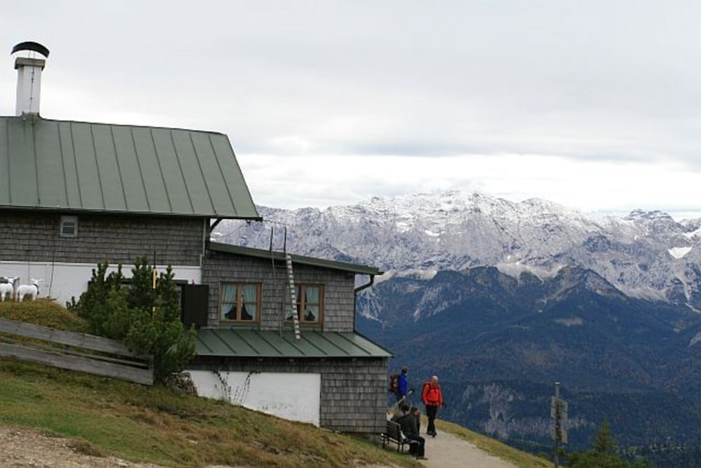
Der Anstieg beginnt am Wankbahn-Parkplatz und führt uns zunächst auf dem Fahrweg bis zur Daxkapelle. Hier folgen wir dem rechten Weg bis kurz vor die Mittelstation. Hier zweigt nun ein kleiner Wanderweg ab, der uns schließlich zum Gipfel des Ameisbergs führt. Von hier geht es dann in ca. 10 Minuten zum Wankgipfel. Hier hat man auch die Möglichkeit einzukehren, ehe es wieder zurück ins Tal geht.
Landschatlich sehr schöne Wanderungen mit tollem Blick auf das Karwendel und Wetterstein.
Gehzeit im Aufstieg: Ca. 3 Std.
Gehzeit im Abstieg: Ca. 2 Std.
Further information at
http://www.eibsee-hotel.deGalerie du tour


Carte du tour et altitude
Minimum height 719 m
Maximum height 1788 m
More about the tour author
|
|
EIBSEE-HOTEL |
Commentaires

Beginn der Tour ist In Partenkirchen direkt am Parkplatz der Wankbahn.
Tracks GPS
Trackpoints-
GPX / Garmin Map Source (gpx) download
-
TCX / Garmin Training Center® (tcx) download
-
CRS / Garmin Training Center® (crs) download
-
Google Earth (kml) download
-
G7ToWin (g7t) download
-
TTQV (trk) download
-
Overlay (ovl) download
-
Fugawi (txt) download
-
Kompass (DAV) Track (tk) download
-
Feuille de tours (pdf) download
-
Original file of the author (gpx) download
More about the tour author
|
|
EIBSEE-HOTEL |
Add to my favorites
Remove from my favorites
Edit tags
Open track
My score
Rate