

Die Tour beginnt in Üvezpinar oberhalb des bekannten Badeortes "Termal" mit heißen Quellen. Man folgt dem Fahrweg Richtung "Selale" (Wasserfall).
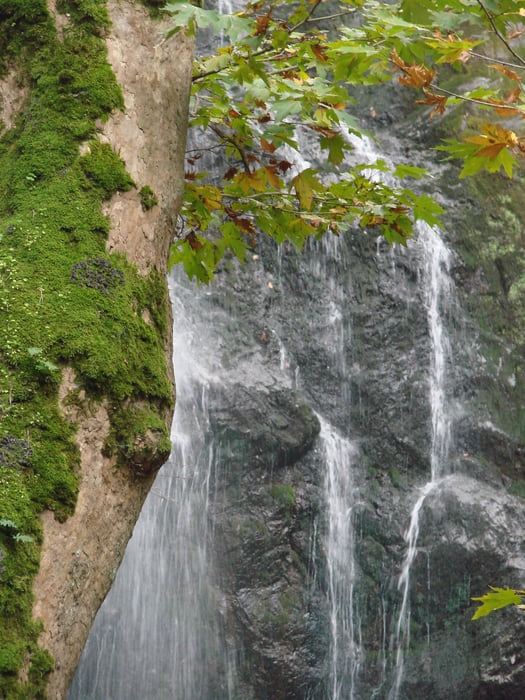
Um diesen Wasserfall zu sehen, muss man kurz den Fahrweg verlassen und ca. 100 m zum Fluss hinuntergehen. Danach geht man zum Fahrweg zurück und folgt ihm weiter bis man nach einigen Stunden im Dorf "Haydariye" ankommt.
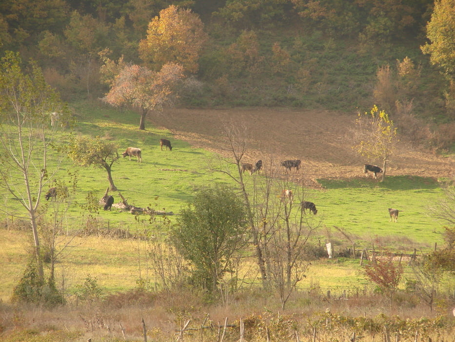
Kurz hinter Haydariye beginnt eine asphaltierte (fast nicht befahrene) Straße, der man in zahlreichen Serpentinen durch wunderschöne Felder und Olivenhaine mit Fernblick auf den Uludag und Tiefblick auf das Maramarameer bis hinunter nach Kumla folgt.
Galerie du tour
Carte du tour et altitude
Minimum height -6 m
Maximum height 425 m
More about the tour author

|
Zohren |
Commentaires

Anfahrt
- Nach Yalova von Istanbul oder Bursa mit Bus oder Fähre
- Ab Yalova regelmäßige Dolmus nach Termal/Üvezpinar
- In Üvezpinar (Endstation) besteht noch Einkaufsmöglichkeit
Weiterfahrt in Kumla
- Mit dem Linienbus nach Gemlik
- Von Gemlik mit Reisebussen nach Bursa, Yalova oder Istanbul
Tracks GPS
Trackpoints-
GPX / Garmin Map Source (gpx) download
-
TCX / Garmin Training Center® (tcx) download
-
CRS / Garmin Training Center® (crs) download
-
Google Earth (kml) download
-
G7ToWin (g7t) download
-
TTQV (trk) download
-
Overlay (ovl) download
-
Fugawi (txt) download
-
Kompass (DAV) Track (tk) download
-
Feuille de tours (pdf) download
-
Original file of the author (gpx) download
More about the tour author
|
|
Zohren |
Add to my favorites
Remove from my favorites
Edit tags
Open track
My score
Rate