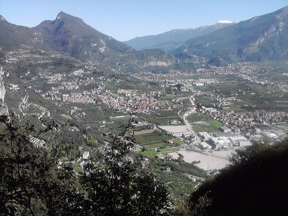
Schöne Tour. Langer Anstieg, lange, rasante Abfahrt. Rastmöglichkeit bei Malga Grassi. Von hier gehrt es einen Teil zurück, bevor wir nach rechts in die Abfahrt einbiegen.
Galerie du tour
Carte du tour et altitude
Minimum height 65 m
Maximum height 1067 m
Commentaires

Riva del Garda, zahlreiche Parkmöglichkeiten
Tracks GPS
Trackpoints-
GPX / Garmin Map Source (gpx) download
-
TCX / Garmin Training Center® (tcx) download
-
CRS / Garmin Training Center® (crs) download
-
Google Earth (kml) download
-
G7ToWin (g7t) download
-
TTQV (trk) download
-
Overlay (ovl) download
-
Fugawi (txt) download
-
Kompass (DAV) Track (tk) download
-
Feuille de tours (pdf) download
-
Original file of the author (gpx) download
Add to my favorites
Remove from my favorites
Edit tags
Open track
My score
Rate


