Login

Login oublié ?

Cookies have to be accepted!
Your browser's cookie functionality is disabled. Please enable this functionality.

Not a member yet?

Register now
Login

Available for registred users only

Log in to use this feature.

Login oublié ?

Cookies have to be accepted!
Your browser's cookie functionality is disabled. Please enable this functionality.

Not a member yet?

Register now
Filter
Catégories
Advanced filters
  • Longueur (km)
  • Altimètre
Enregistrer le filtre Reset filter

TrackRank

QRCode

Technical data

Longueur26,9 km Altimètre403 m Way down406 m Durée01:15 h:m Date07.10.2010
Evaluations Author Paysage Aspect amusement Condition Technique

Statistiques

500 Vues 1 Evaluation 32 Téléchargements 1.00 Moyenne
Rate
  • Feuille de tours
  • Arrivée
  • Téléchargements

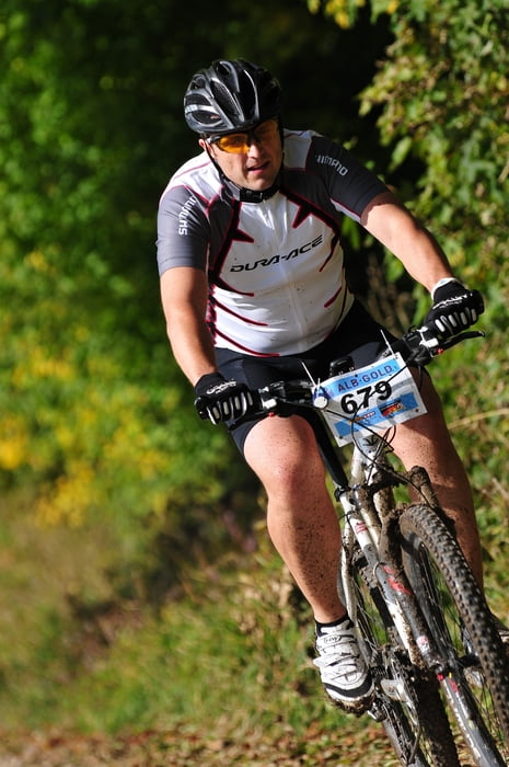
schnelles MTB-Rennen mit drei verschiedenen Strecken (30km, 78km, 108km)

Further information at

http://www.alb-gold.com/index.php?option=com_content&view=article&id=732&Itemid=1819&lang=de

Galerie du tour

Carte du tour et altitude

  • Open Street Map
  • Google
Minimum height 709 m Maximum height 824 m Vue de détail

More about the tour author

ossinator
Member since 2009

Send private message

Commentaires

über die B27 auf die Schwäbische Alb

Tracks GPS

Trackpoints
  • GPX / Garmin Map Source (gpx) download
  • TCX / Garmin Training Center® (tcx) download
  • CRS / Garmin Training Center® (crs) download
  • Google Earth (kml) download
  • G7ToWin (g7t) download
  • TTQV (trk) download
  • Overlay (ovl) download
  • Fugawi (txt) download
  • Kompass (DAV) Track (tk) download
  • Feuille de tours (pdf) download
  • Original file of the author (gpx) download

More about the tour author

ossinator
Member since 2009

Send private message
Share track
Add to my favorites
Remove from my favorites
Edit tags
My score
Rate
Tour: Alb-Gold-Trophy
Cat.: Mountainbike
Longueur: 26,9 km
Evaluated on:
Durée:
Day(s)
Hour(s)
Minute(s)
Evaluation: Paysage Aspect amusement Condition Technique