


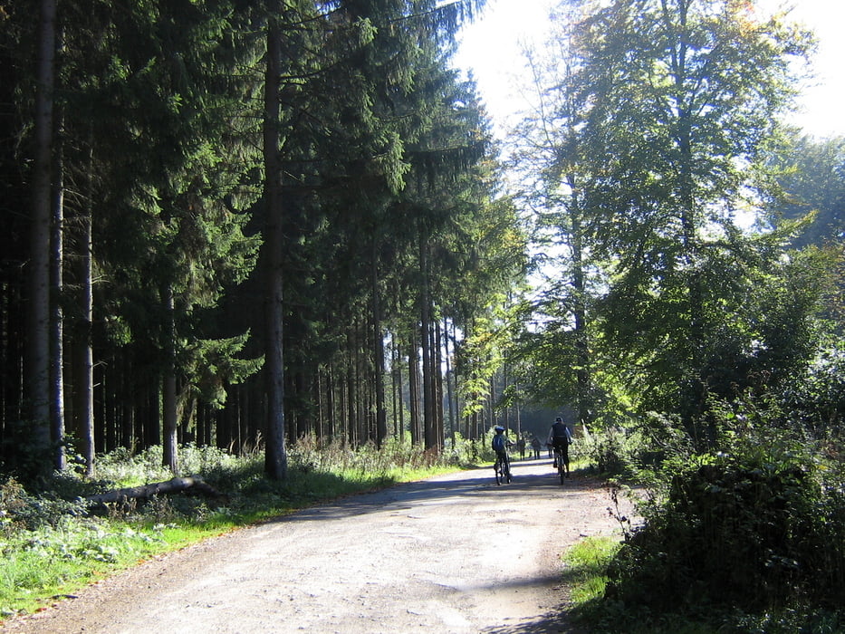
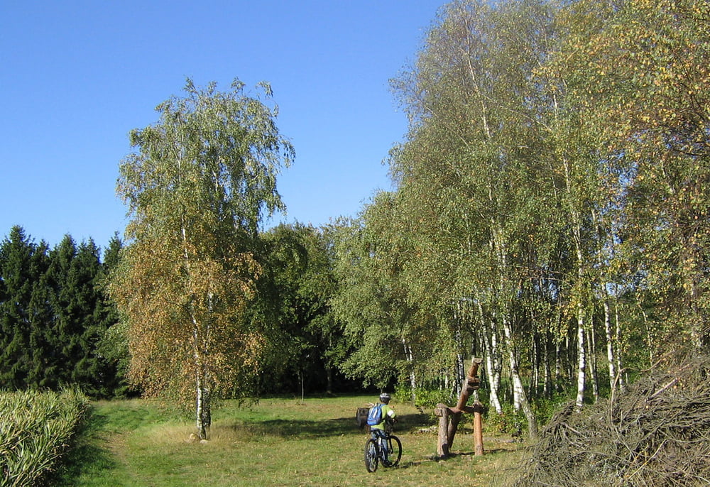
Diese Runde ist eigentlich "leichte Kost" und ganz gut für eine kleine Runde an der frischen Luft geeignet. Kondition ist nur einmal beim Erklimmen des Teutoburger Wald Kammes gefragt. Hier kann es passieren, dass man auch schonmal ein paar Meter absteigen muss. Ansonsten entspannend und landschaftlich ganz nett.
Galerie du tour


Carte du tour et altitude
Minimum height 137 m
Maximum height 295 m
More about the tour author

|
Wurzelbeisser |
Commentaires

Ausgangspunkt ist die Oerlinghauser Teilgemeinde Helpup. Startpunkt ist das Dorfzentrum am "Alten Krug". Die Runde kann aber auch an jedem belieigen Punkt begonnen werden.
Tracks GPS
Trackpoints-
GPX / Garmin Map Source (gpx) download
-
TCX / Garmin Training Center® (tcx) download
-
CRS / Garmin Training Center® (crs) download
-
Google Earth (kml) download
-
G7ToWin (g7t) download
-
TTQV (trk) download
-
Overlay (ovl) download
-
Fugawi (txt) download
-
Kompass (DAV) Track (tk) download
-
Feuille de tours (pdf) download
-
Original file of the author (gpx) download
More about the tour author
|
|
Wurzelbeisser |
Add to my favorites
Remove from my favorites
Edit tags
Open track
My score
Rate