


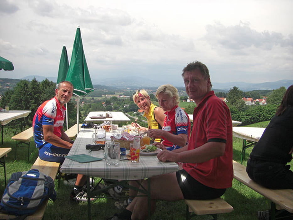
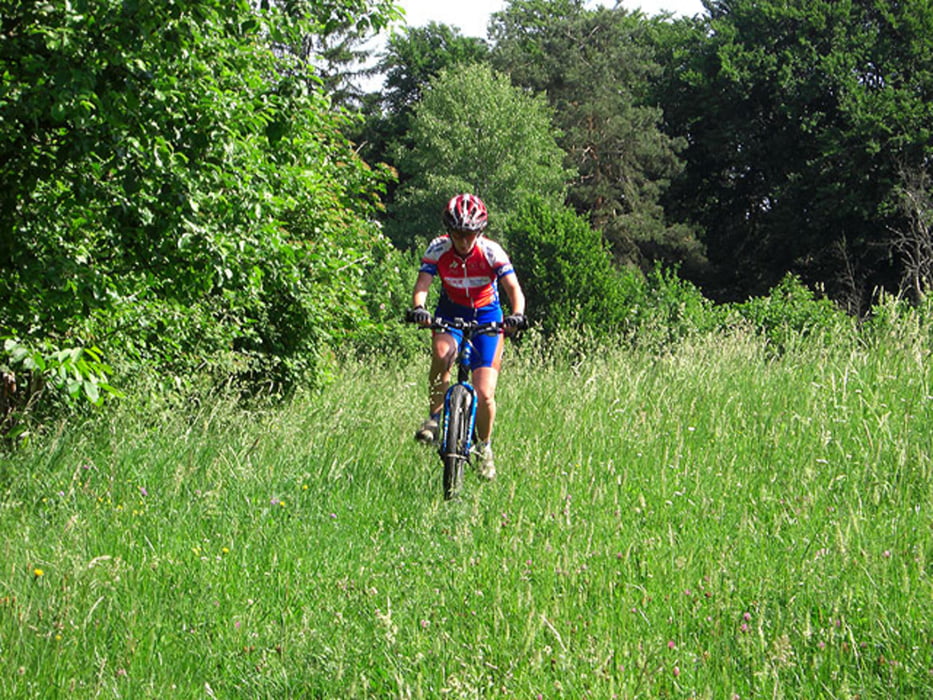
Abwechslungsreiche Tour von St. Magdalena am Lemberg über Bad Walthersdorf und Bad Blumau nach Wagerberg zur Buschenschank Pichler. Zurück über Unterlimbach und Mitterndorf.
Startpunkt ist das Gasthaus Gerngroß in St. Magdalena (bei der Kirche). Der Wanderweg beginnt direkt beim Gasthaus und ab gehts in den Wald!
Das Gasthaus Gerngroß ist sehr empfehlenswert als Quartier für eine MTB-Trainingswoche!
Further information at
http://www.st-magdalena-lemberg.steiermark.at/Galerie du tour

Carte du tour et altitude
Minimum height 274 m
Maximum height 459 m
More about the tour author
|
|
Ers |
Commentaires

Startpunkt ist das Gasthaus/Pension Gerngroß in St. Magdalena am Lemberg.
Tracks GPS
Trackpoints-
GPX / Garmin Map Source (gpx) download
-
TCX / Garmin Training Center® (tcx) download
-
CRS / Garmin Training Center® (crs) download
-
Google Earth (kml) download
-
G7ToWin (g7t) download
-
TTQV (trk) download
-
Overlay (ovl) download
-
Fugawi (txt) download
-
Kompass (DAV) Track (tk) download
-
Feuille de tours (pdf) download
-
Original file of the author (gpx) download
More about the tour author
|
|
Ers |
Add to my favorites
Remove from my favorites
Edit tags
Open track
My score
Rate