Login

Login oublié ?

Cookies have to be accepted!
Your browser's cookie functionality is disabled. Please enable this functionality.

Not a member yet?

Register now
Login

Available for registred users only

Log in to use this feature.

Login oublié ?

Cookies have to be accepted!
Your browser's cookie functionality is disabled. Please enable this functionality.

Not a member yet?

Register now
Filter
Catégories
Advanced filters
  • Longueur (km)
  • Altimètre
Enregistrer le filtre Reset filter

TrackRank

QRCode

Technical data

Longueur8,6 km Altimètre217 m Way down255 m Durée02:00 h:m Date15.10.2010
Evaluations Author Paysage Aspect amusement Condition Technique

Statistiques

2842 Vues 1 Evaluation 133 Téléchargements 2.00 Moyenne
Rate
  • Feuille de tours
  • Arrivée
  • Téléchargements

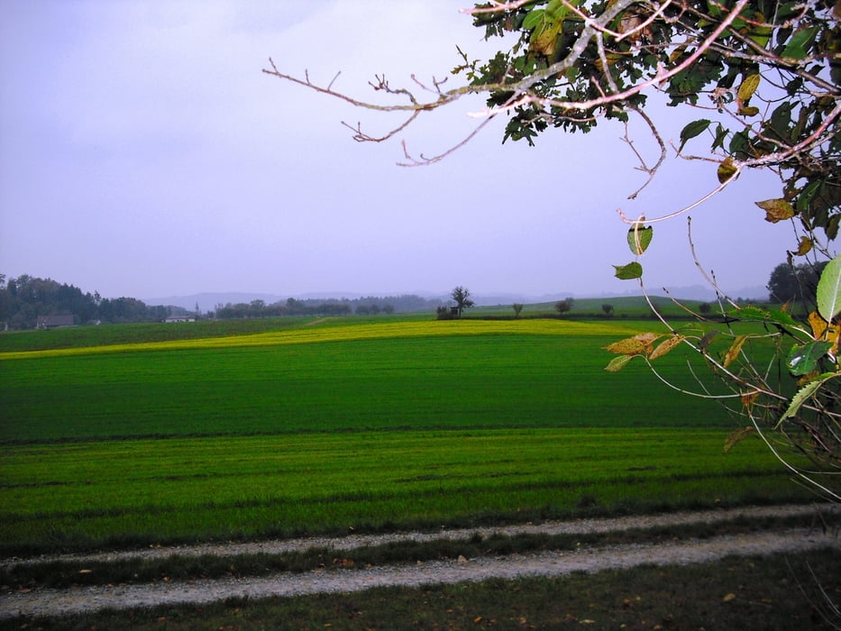
Wanderung bei der Blitzenreuter Seenplatte teils durch Wald teils durch die Oberschwäbische Moränenlandschaft vorbei am Häcklerweiher, Vorsee, Schreckensee und Buchsee.

www.blitzenreute-seen.de

www.zwischenschussenundseen.de

Further information at

http://www.vorseer-stallbesen.de

Galerie du tour

Carte du tour et altitude

  • Open Street Map
  • Google
Minimum height 563 m Maximum height 639 m Vue de détail

More about the tour author

Bockrider
Member since 2007

Send private message

Commentaires

Von Ravensburg auf B32 nach Blitzenreute. Parken am Parkplatz Hecklerweiher.

Tracks GPS

Trackpoints
  • GPX / Garmin Map Source (gpx) download
  • TCX / Garmin Training Center® (tcx) download
  • CRS / Garmin Training Center® (crs) download
  • Google Earth (kml) download
  • G7ToWin (g7t) download
  • TTQV (trk) download
  • Overlay (ovl) download
  • Fugawi (txt) download
  • Kompass (DAV) Track (tk) download
  • Feuille de tours (pdf) download
  • Original file of the author (gpx) download

More about the tour author

Bockrider
Member since 2007

Send private message
Share track
Add to my favorites
Remove from my favorites
Edit tags
My score
Rate
Tour: Oberschwaben Blitzenreuter Seenplatte
Cat.: Randonnées
Longueur: 8,6 km
Evaluated on:
Durée:
Day(s)
Hour(s)
Minute(s)
Evaluation: Paysage Aspect amusement Condition Technique