Login

Login oublié ?

Cookies have to be accepted!
Your browser's cookie functionality is disabled. Please enable this functionality.

Not a member yet?

Register now
Login

Available for registred users only

Log in to use this feature.

Login oublié ?

Cookies have to be accepted!
Your browser's cookie functionality is disabled. Please enable this functionality.

Not a member yet?

Register now
Filter
Catégories
Advanced filters
  • Longueur (km)
  • Altimètre
Enregistrer le filtre Reset filter

TrackRank

QRCode

Technical data

Longueur18,0 km Altimètre439 m Way down437 m Durée05:00 h:m Date15.10.2010
Evaluations Author Paysage Aspect amusement Condition Technique

Statistiques

710 Vues Evaluations 59 Téléchargements Moyenne
Rate
  • Feuille de tours
  • Arrivée
  • Téléchargements

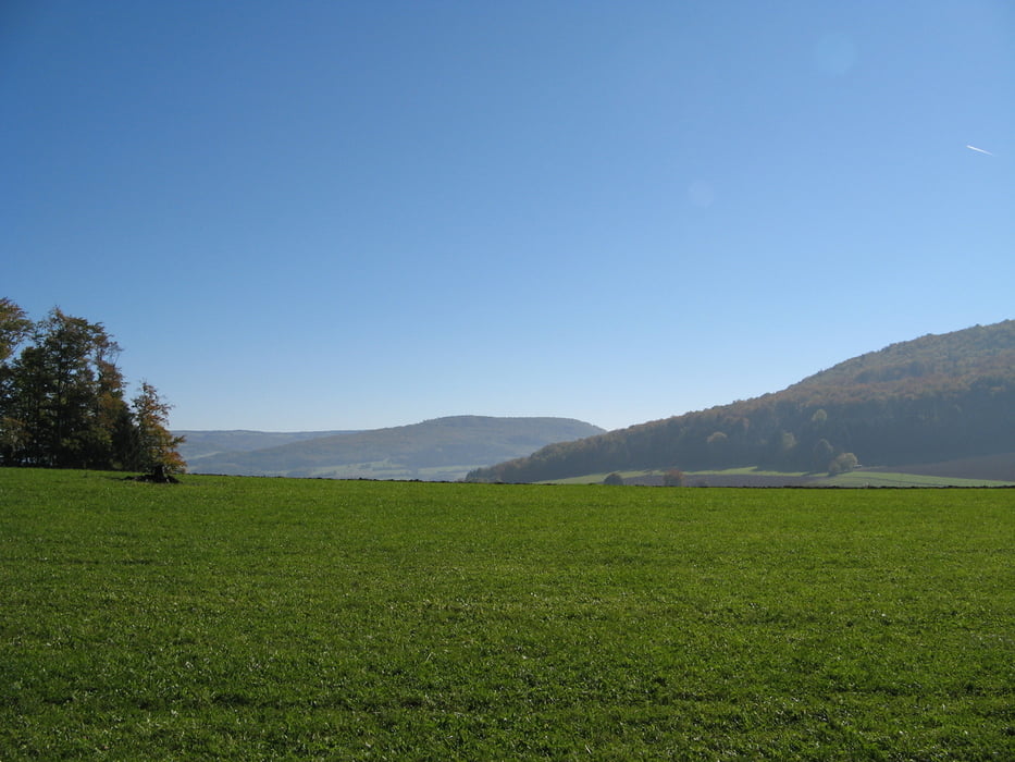
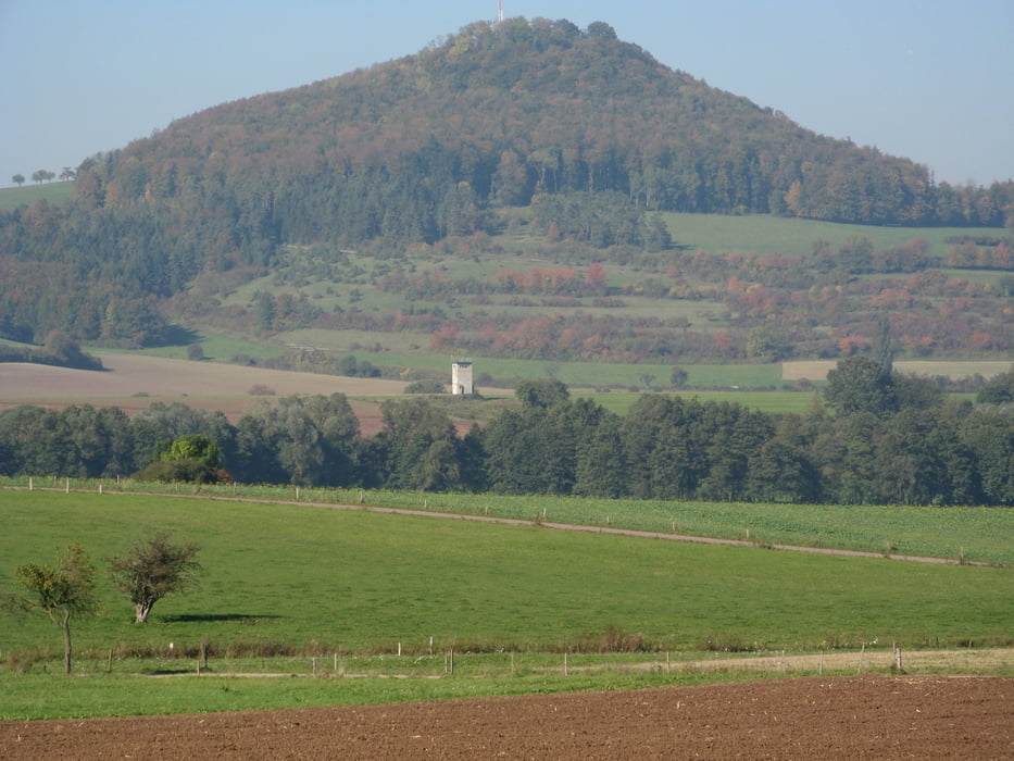
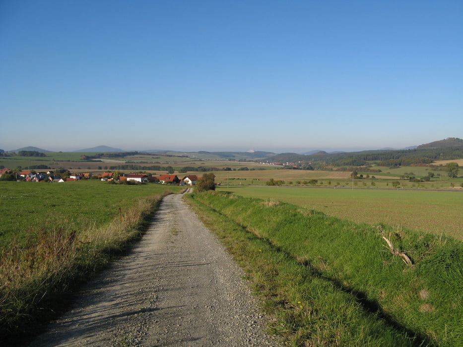
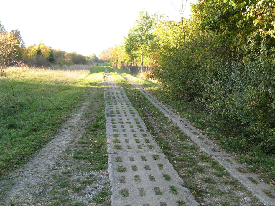
Hier reichen sich Hessen und Thüringen die Hand. Die wenig bekannte Tour mit Streckenanteilen

beider Bundesländer bietet entspannte Grenzerfahrungungen. Wer am " Kettener Schlagbaum " startet, darf Teer nicht scheuen und wird dafür aussichtsreich entschädigt. Auch für Mountainbiker und Geocacher geeignet. Einkehrmöglichkeit in der Gaststätte " Heile Schern " in Spahl ( montags und dienstags Ruhetag ).

Galerie du tour

Carte du tour et altitude

  • Open Street Map
  • Google
Minimum height 360 m Maximum height 626 m Vue de détail

More about the tour author

Ernstle
Member since 2008

Send private message

Commentaires

Tracks GPS

Trackpoints
  • GPX / Garmin Map Source (gpx) download
  • TCX / Garmin Training Center® (tcx) download
  • CRS / Garmin Training Center® (crs) download
  • Google Earth (kml) download
  • G7ToWin (g7t) download
  • TTQV (trk) download
  • Overlay (ovl) download
  • Fugawi (txt) download
  • Kompass (DAV) Track (tk) download
  • Feuille de tours (pdf) download
  • Original file of the author (gpx) download

More about the tour author

Ernstle
Member since 2008

Send private message
Share track
Add to my favorites
Remove from my favorites
Edit tags
My score
Rate
Tour: Rhöner Routen - Ketten
Cat.: Randonnées
Longueur: 18,0 km
Evaluated on:
Durée:
Day(s)
Hour(s)
Minute(s)
Evaluation: Paysage Aspect amusement Condition Technique