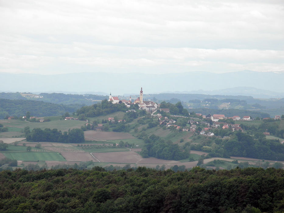
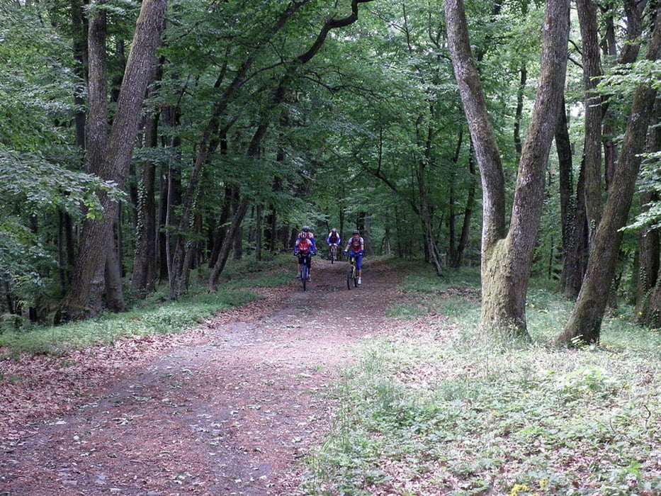
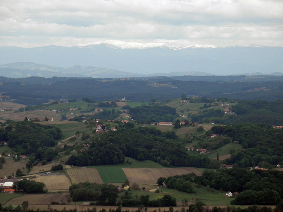
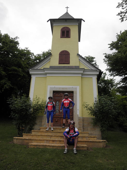
Sehr abwechslungsreiche und landschaftlich wunderschöne Tour. Zuerst gehts zum Aufwärmen flach dahin über Halbenrain, Tieschen, Größing, Hochstraden und Schemming nach St. Anna. Von dort gehts am Pestkreuz vorbei zur slowenischen Grenze und dieser entlang bis Dedenitz, bevor der Kurs wieder auf Bad Radkersburg eingeschlagen wird.
Galerie du tour
Carte du tour et altitude
Minimum height 207 m
Maximum height 567 m
Commentaires

Startpunkt ist der Altneudörflerhof in Altdörfl.
Tracks GPS
Trackpoints-
GPX / Garmin Map Source (gpx) download
-
TCX / Garmin Training Center® (tcx) download
-
CRS / Garmin Training Center® (crs) download
-
Google Earth (kml) download
-
G7ToWin (g7t) download
-
TTQV (trk) download
-
Overlay (ovl) download
-
Fugawi (txt) download
-
Kompass (DAV) Track (tk) download
-
Feuille de tours (pdf) download
-
Original file of the author (gpx) download
Add to my favorites
Remove from my favorites
Edit tags
Open track
My score
Rate


