


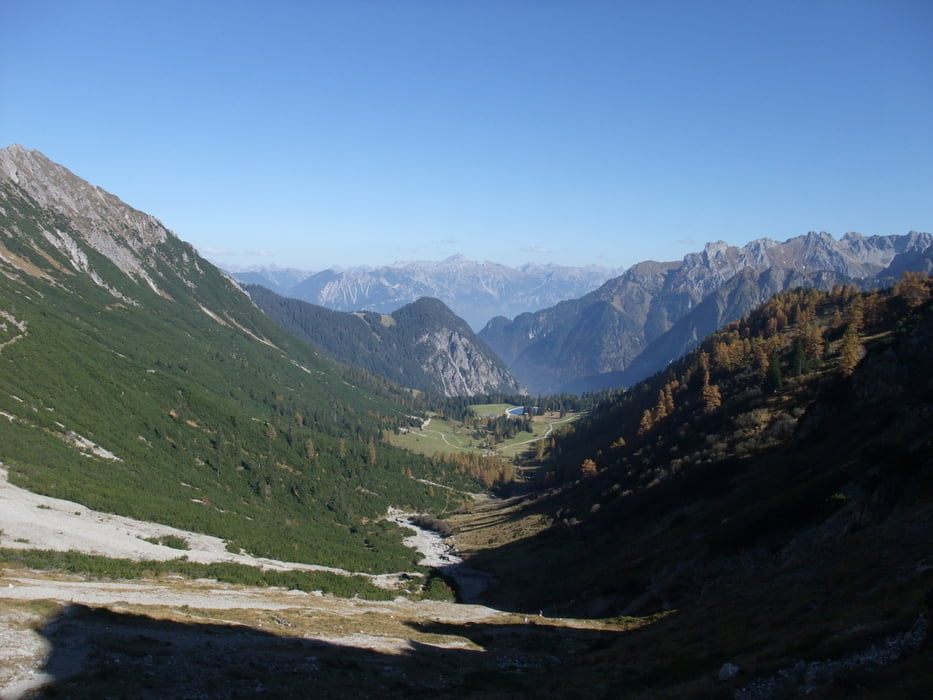
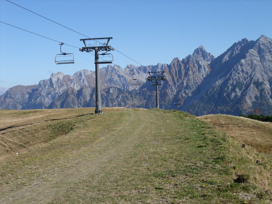
Mit der Dorfbahn und der Panoramabahn haben wir die ersten 600m zum Burtschasattel 1680m überwunden (ca. 3km Weg mit den Bahnen). Von dort geht es auf breiten Wanderweg weiter. Kurz vor der Parpfienz Alp sind wir ins Lorenzital abgebogen. Auf einem schmalen Pfad führt der Weg durch eine sehr schöne Landschaft ca. 500 Höhenmeter bergauf. ( auf dem Mittelstück dieses Abschnittes kann es bei und nach Regen sehr schlammig und glitschig werden, da der Pfad hier über steile Wiesen führt ). Oben haben wir unseren höchsten Punkt am Skilift mit Blick auf das Amatschonjoch (2028m) erreicht. Wer noch Zeit hat kann diesen kurzen Abstecher (ca.1h) noch mitmachen. Wir sind den Skiabfahrten folgenden mit Pause am Niggenkopfstüble (und da die Dorfbahn ab 16.00Uhr nicht mehr fuhr) wieder bis Brand abgestiegen.
Further information at
http://www.brandnertal.at/Galerie du tour


Carte du tour et altitude
Minimum height 985 m
Maximum height 1912 m
More about the tour author
|
|
JZE |
Commentaires

Start ist im Ort Brand - Parkmöglichkeiten sind vorhanden.
Tracks GPS
Trackpoints-
GPX / Garmin Map Source (gpx) download
-
TCX / Garmin Training Center® (tcx) download
-
CRS / Garmin Training Center® (crs) download
-
Google Earth (kml) download
-
G7ToWin (g7t) download
-
TTQV (trk) download
-
Overlay (ovl) download
-
Fugawi (txt) download
-
Kompass (DAV) Track (tk) download
-
Feuille de tours (pdf) download
-
Original file of the author (gpx) download
More about the tour author
|
|
JZE |
Add to my favorites
Remove from my favorites
Edit tags
Open track
My score
Rate