
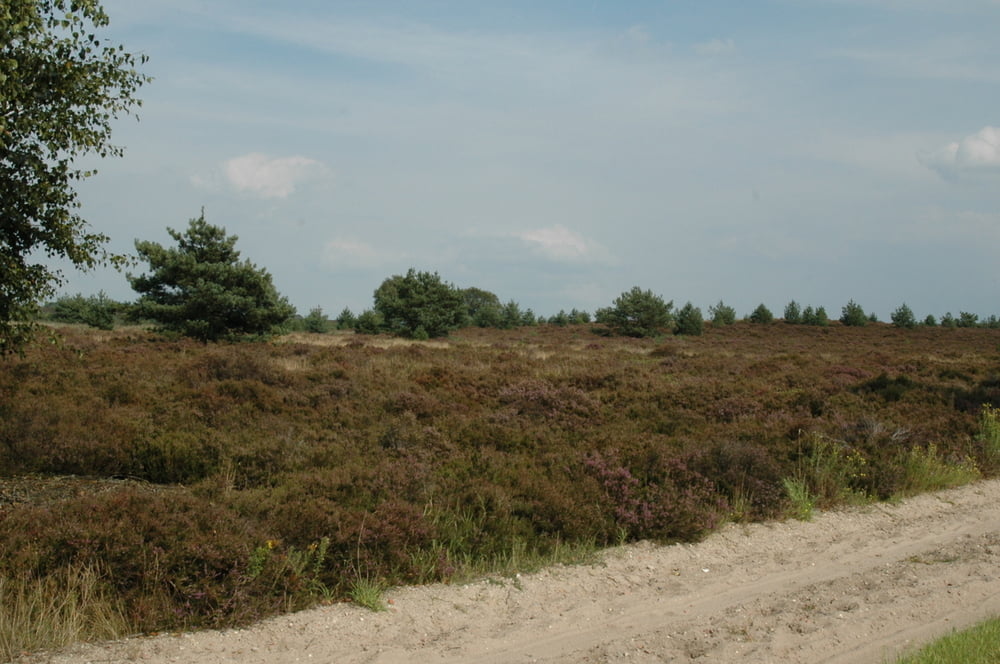

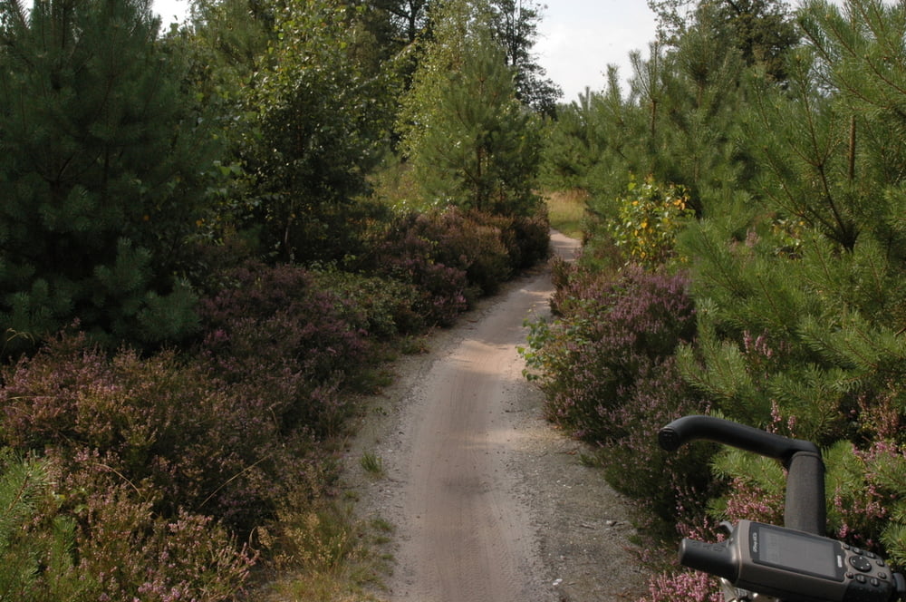
Hele mooie route, opgebouwd uit de twee uitgezette routes op de Sallandse Heuvelrug. De start was op een camping in Holten. Ook kan gestart worden bij het station van Holten, in Hellendoorn of bij de N35 nabij Nijverdal. Afwisselend landschap, mooie singles, weinig asfalt. In Hellendoorn een pauze ingelast en iets gegeten, derhalve even van de route af. Geen echte zware tocht, maar ook niet geheel vlak. Dus toch enige conditie vereist!
Galerie du tour

Carte du tour et altitude
Minimum height 12 m
Maximum height 53 m
More about the tour author
|
|
Jos-Overtoom |
Commentaires

Tracks GPS
Trackpoints-
GPX / Garmin Map Source (gpx) download
-
TCX / Garmin Training Center® (tcx) download
-
CRS / Garmin Training Center® (crs) download
-
Google Earth (kml) download
-
G7ToWin (g7t) download
-
TTQV (trk) download
-
Overlay (ovl) download
-
Fugawi (txt) download
-
Kompass (DAV) Track (tk) download
-
Feuille de tours (pdf) download
-
Original file of the author (gpx) download
More about the tour author
|
|
Jos-Overtoom |
Add to my favorites
Remove from my favorites
Edit tags
Open track
My score
Rate