Login

Login oublié ?

Cookies have to be accepted!
Your browser's cookie functionality is disabled. Please enable this functionality.

Not a member yet?

Register now
Login

Available for registred users only

Log in to use this feature.

Login oublié ?

Cookies have to be accepted!
Your browser's cookie functionality is disabled. Please enable this functionality.

Not a member yet?

Register now
Filter
Catégories
Advanced filters
  • Longueur (km)
  • Altimètre
Enregistrer le filtre Reset filter

TrackRank

QRCode

Technical data

Longueur12,0 km Altimètre524 m Way down528 m Durée03:10 h:m Date31.10.2010
Evaluations Author Paysage Aspect amusement Condition Technique

Statistiques

237 Vues Evaluations 25 Téléchargements Moyenne
Rate
  • Feuille de tours
  • Arrivée
  • Téléchargements


Startpunkt: Aigen im Mühlkreis, Ortschaft Berghäusln - Einstieg in die Bärensteinrunde. Zuerst steil durch den Wald hinauf auf den Hochbuchetfelsen mit wunderbarem Blick über den Bezirk Rohrbach bis hinunter zum Dachstein.
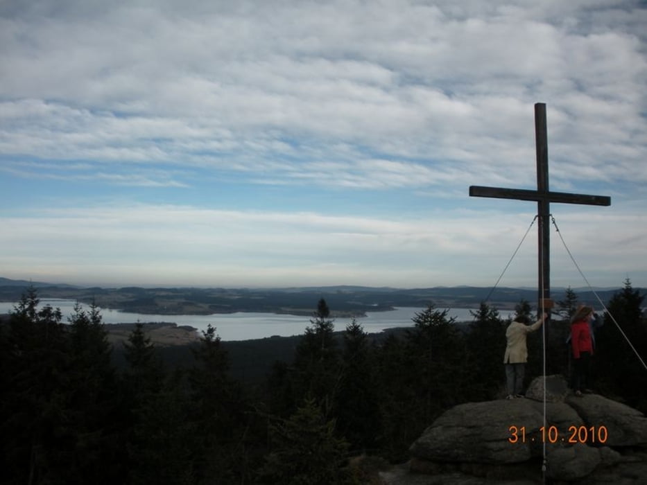
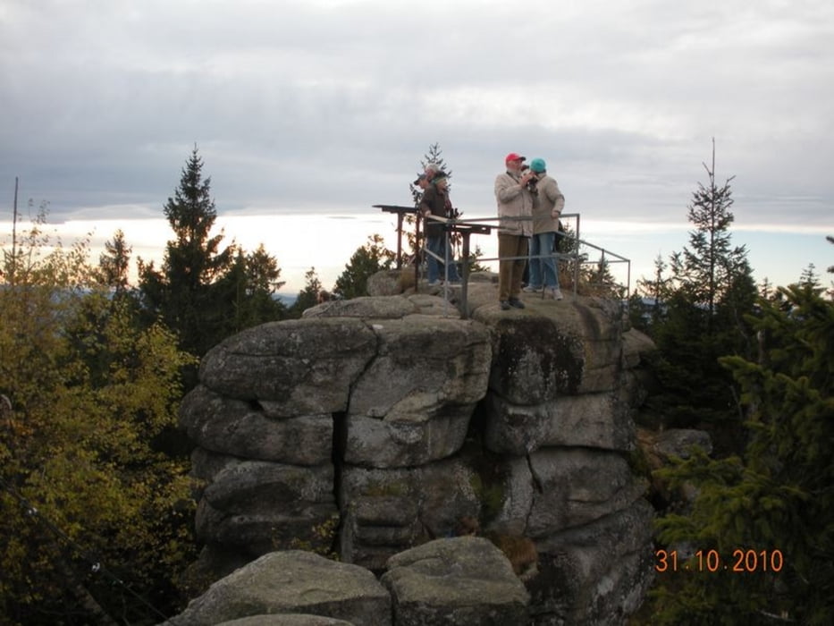
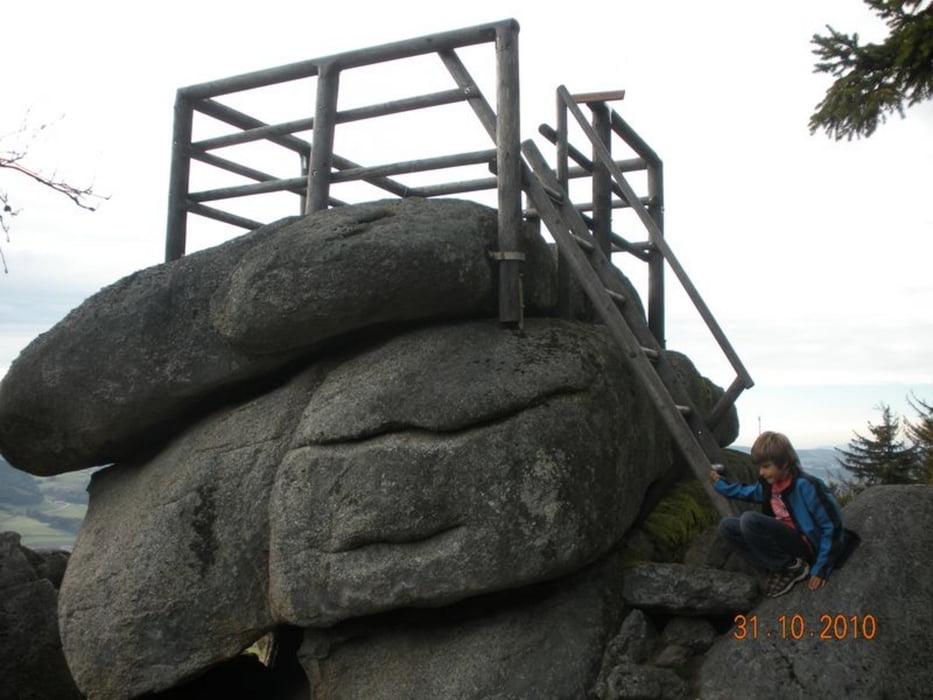
Auf ebenem Weg weiter zum Gasthof Panyhaus in Grünwald. Durch den Wald hinauf auf den felsigen Bärenstein (1.077 m).
Zurück zum Panyhaus und von dort auf der Straße zurück zum Ausgangspunkt.

Galerie du tour

Carte du tour et altitude

  • Open Street Map
  • Google
Minimum height 593 m Maximum height 1079 m Vue de détail

More about the tour author

Fritzl71
Member since 2009

Send private message

Commentaires

B127 nach Aigen

Tracks GPS

Trackpoints
  • GPX / Garmin Map Source (gpx) download
  • TCX / Garmin Training Center® (tcx) download
  • CRS / Garmin Training Center® (crs) download
  • Google Earth (kml) download
  • G7ToWin (g7t) download
  • TTQV (trk) download
  • Overlay (ovl) download
  • Fugawi (txt) download
  • Kompass (DAV) Track (tk) download
  • Feuille de tours (pdf) download
  • Original file of the author (gpx) download

More about the tour author

Fritzl71
Member since 2009

Send private message
Share track
Add to my favorites
Remove from my favorites
Edit tags
My score
Rate
Tour: Bärensteinrunde
Cat.: Randonnées
Longueur: 12,0 km
Evaluated on:
Durée:
Day(s)
Hour(s)
Minute(s)
Evaluation: Paysage Aspect amusement Condition Technique