Login

Login oublié ?

Cookies have to be accepted!
Your browser's cookie functionality is disabled. Please enable this functionality.

Not a member yet?

Register now
Login

Available for registred users only

Log in to use this feature.

Login oublié ?

Cookies have to be accepted!
Your browser's cookie functionality is disabled. Please enable this functionality.

Not a member yet?

Register now
Filter
Catégories
Advanced filters
  • Longueur (km)
  • Altimètre
Enregistrer le filtre Reset filter

TrackRank

QRCode

Technical data

Longueur19,3 km Altimètre508 m Way down500 m Durée00:00 h:m Date17.11.2010
Evaluations Author Paysage Aspect amusement Condition Technique

Statistiques

185 Vues Evaluations 19 Téléchargements Moyenne
Rate
  • Feuille de tours
  • Arrivée
  • Téléchargements

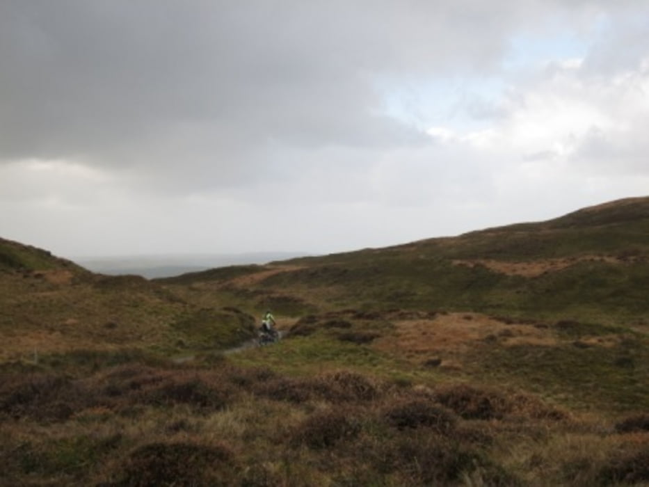
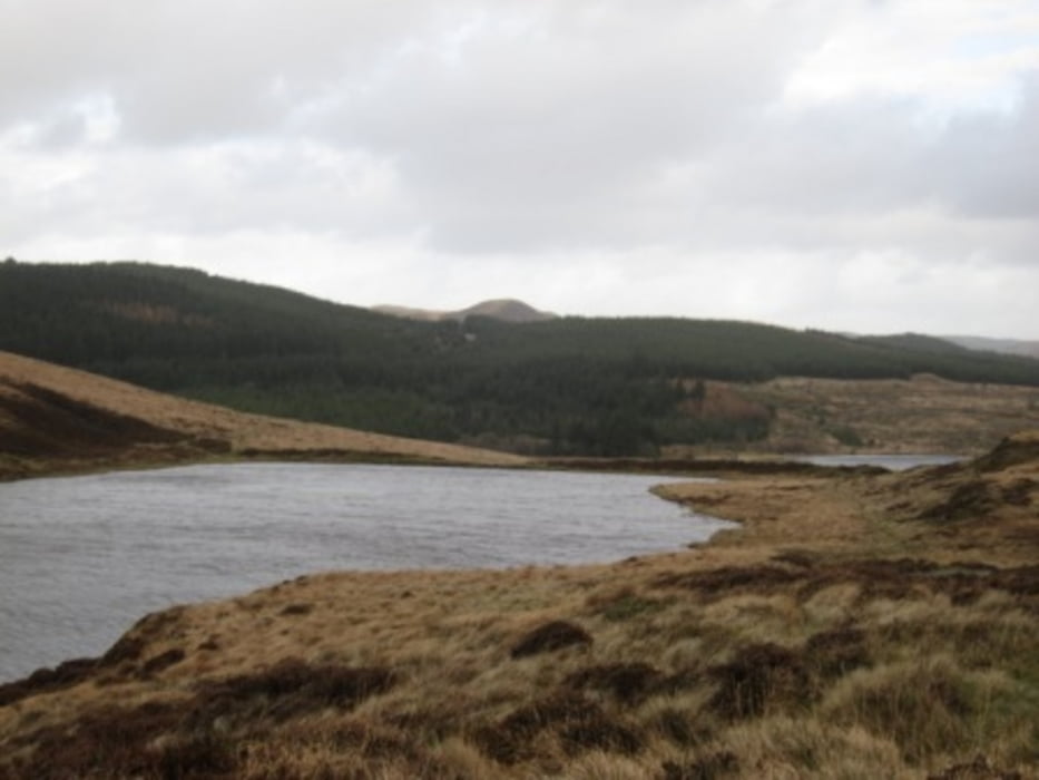
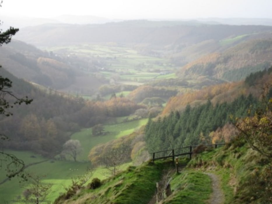
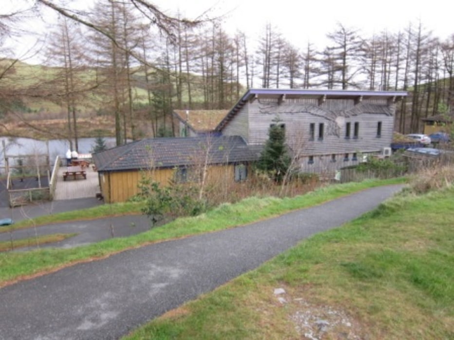
Traily ve středním Walesu. V tomto středisku jsou 3 okruhy. Jsou to úžasné, jezdivé singletraily v lesích a po lukách kolem jezer. Možná méně náročné. Zázemí perfektní jako všude.

Galerie du tour

Carte du tour et altitude

  • Open Street Map
  • Google
Minimum height 149 m Maximum height 531 m Vue de détail

More about the tour author

alias62
Member since 2010

Send private message

Commentaires

52° 24' 53,16"

3° 53' 8,07"

Tracks GPS

Trackpoints
  • GPX / Garmin Map Source (gpx) download
  • TCX / Garmin Training Center® (tcx) download
  • CRS / Garmin Training Center® (crs) download
  • Google Earth (kml) download
  • G7ToWin (g7t) download
  • TTQV (trk) download
  • Overlay (ovl) download
  • Fugawi (txt) download
  • Kompass (DAV) Track (tk) download
  • Feuille de tours (pdf) download
  • Original file of the author (gpx) download

More about the tour author

alias62
Member since 2010

Send private message
Share track
Add to my favorites
Remove from my favorites
Edit tags
My score
Rate
Tour: Summit a Pendam
Cat.: Mountainbike
Longueur: 19,3 km
Evaluated on:
Durée:
Day(s)
Hour(s)
Minute(s)
Evaluation: Paysage Aspect amusement Condition Technique