Login

Login oublié ?

Cookies have to be accepted!
Your browser's cookie functionality is disabled. Please enable this functionality.

Not a member yet?

Register now
Login

Available for registred users only

Log in to use this feature.

Login oublié ?

Cookies have to be accepted!
Your browser's cookie functionality is disabled. Please enable this functionality.

Not a member yet?

Register now
Filter
Catégories
Advanced filters
  • Longueur (km)
  • Altimètre
Enregistrer le filtre Reset filter

TrackRank

QRCode

Technical data

Longueur31,2 km Altimètre675 m Way down659 m Durée00:00 h:m Date21.12.2010
Evaluations Author Paysage Aspect amusement Condition Technique

Statistiques

189 Vues Evaluations 7 Téléchargements Moyenne
Rate
  • Feuille de tours
  • Arrivée
  • Téléchargements

Тракът започва и свършва с място подходящо за паркиране на кола.

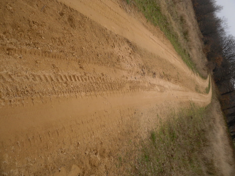
Маршрута е приятен, кара се на 100 процента и няма екстремни участъци. Кара се предимно по широки черни пътища. 

Подходящ за начинаещи в спорта.  

Galerie du tour

Carte du tour et altitude

  • Open Street Map
  • Google
Minimum height 55 m Maximum height 506 m Vue de détail

More about the tour author

PlamenGG
Member since 2010

Send private message

Commentaires

Tracks GPS

Trackpoints
  • GPX / Garmin Map Source (gpx) download
  • TCX / Garmin Training Center® (tcx) download
  • CRS / Garmin Training Center® (crs) download
  • Google Earth (kml) download
  • G7ToWin (g7t) download
  • TTQV (trk) download
  • Overlay (ovl) download
  • Fugawi (txt) download
  • Kompass (DAV) Track (tk) download
  • Feuille de tours (pdf) download
  • Original file of the author (gpx) download

More about the tour author

PlamenGG
Member since 2010

Send private message
Share track
Add to my favorites
Remove from my favorites
Edit tags
My score
Rate
Tour: в близост до с. Гюльовца
Cat.: Mountainbike
Longueur: 31,2 km
Evaluated on:
Durée:
Day(s)
Hour(s)
Minute(s)
Evaluation: Paysage Aspect amusement Condition Technique