
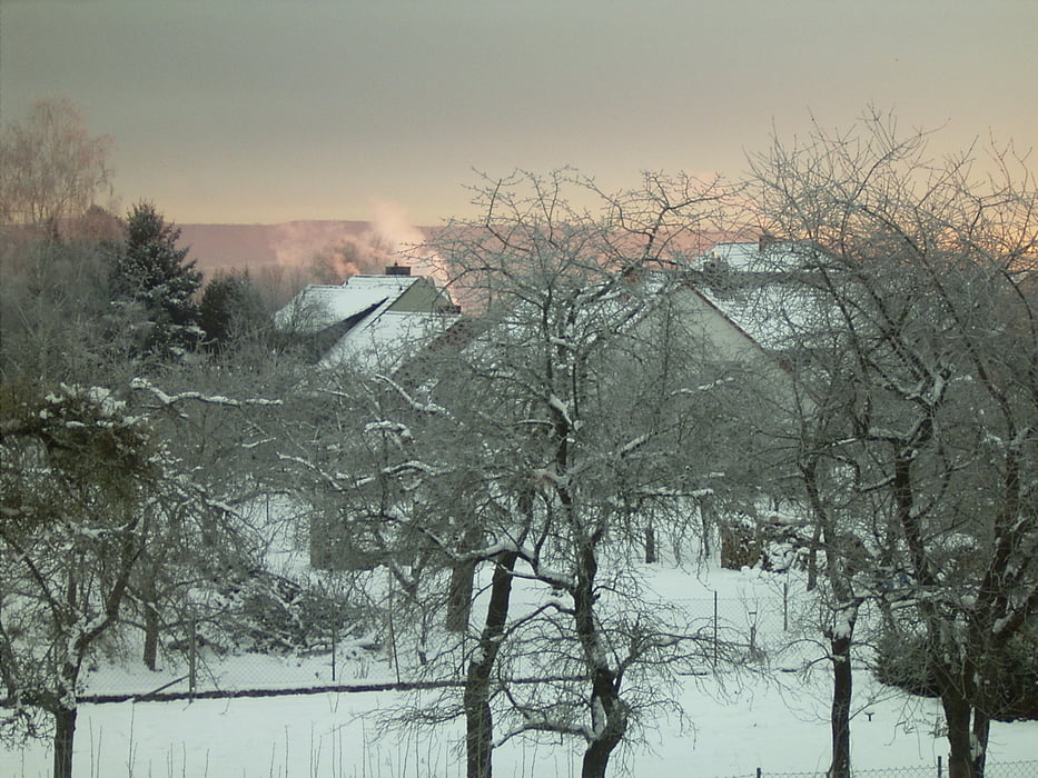

Ausgehend vom Sender geht es zur Warte und dann am Weender Fortshaus vorbei in Richtung Plesse. Dann schöne Abfahrt in die Billingshäuser Schlucht und Aufstieg in Richtung Sender.
Die Temperaturen liegen in der Regel rund 2 Grad unter denen im Leinetal, man kann die Tour noch machen, wenn es im Tal taut. Überwiegend auf von den Läufern selbst gespurter Loipe und Stücke auf den Fahrspuren der Waldarbeiter und Förster.
Carte du tour et altitude
Minimum height 277 m
Maximum height 399 m
More about the tour author
|
|
sugesei |
Commentaires

Die Senderstraße in Niklausberg ist der Ausgangspunkt. Bitte die Anwohner nicht zuparken.
Tracks GPS
Trackpoints-
GPX / Garmin Map Source (gpx) download
-
TCX / Garmin Training Center® (tcx) download
-
CRS / Garmin Training Center® (crs) download
-
Google Earth (kml) download
-
G7ToWin (g7t) download
-
TTQV (trk) download
-
Overlay (ovl) download
-
Fugawi (txt) download
-
Kompass (DAV) Track (tk) download
-
Feuille de tours (pdf) download
-
Original file of the author (gpx) download
More about the tour author
|
|
sugesei |
Add to my favorites
Remove from my favorites
Edit tags
Open track
My score
Rate