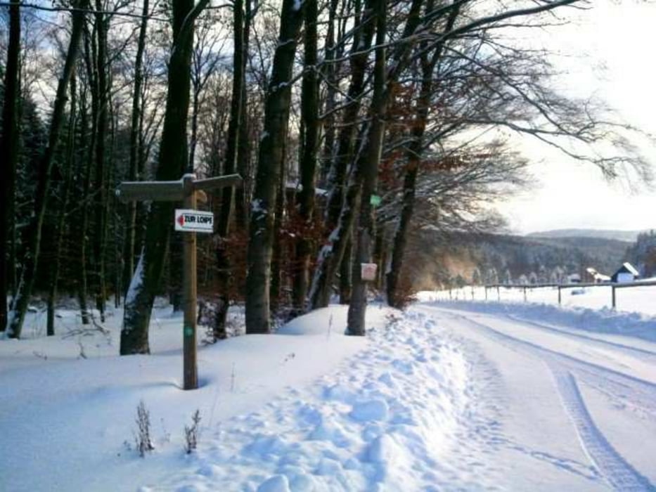
Wunderschöne kurze Tour, meistens gut gespurt.
Keine Fernsichten, die Loipe meist im Wald.
Man hat des Gefühl, man fährt durch einen Zauberwald.
Carte du tour et altitude
Minimum height 434 m
Maximum height 482 m
Commentaires

Richtung Hammelbach fahren.
Dann Richtung Café Bauer... Dort gibts dann danach lecker Kuchen :-)
Tracks GPS
Trackpoints-
GPX / Garmin Map Source (gpx) download
-
TCX / Garmin Training Center® (tcx) download
-
CRS / Garmin Training Center® (crs) download
-
Google Earth (kml) download
-
G7ToWin (g7t) download
-
TTQV (trk) download
-
Overlay (ovl) download
-
Fugawi (txt) download
-
Kompass (DAV) Track (tk) download
-
Feuille de tours (pdf) download
-
Original file of the author (gpx) download
Add to my favorites
Remove from my favorites
Edit tags
Open track
My score
Rate

