


Start der Tour ist in Torbole an der Fußgängerbrücke über die Sarca.
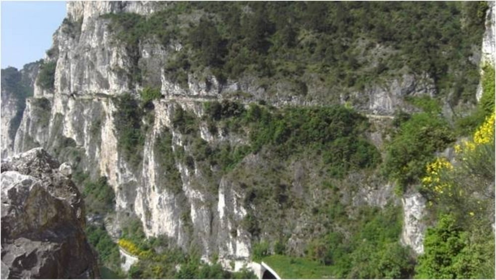
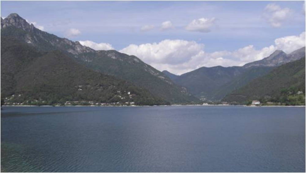
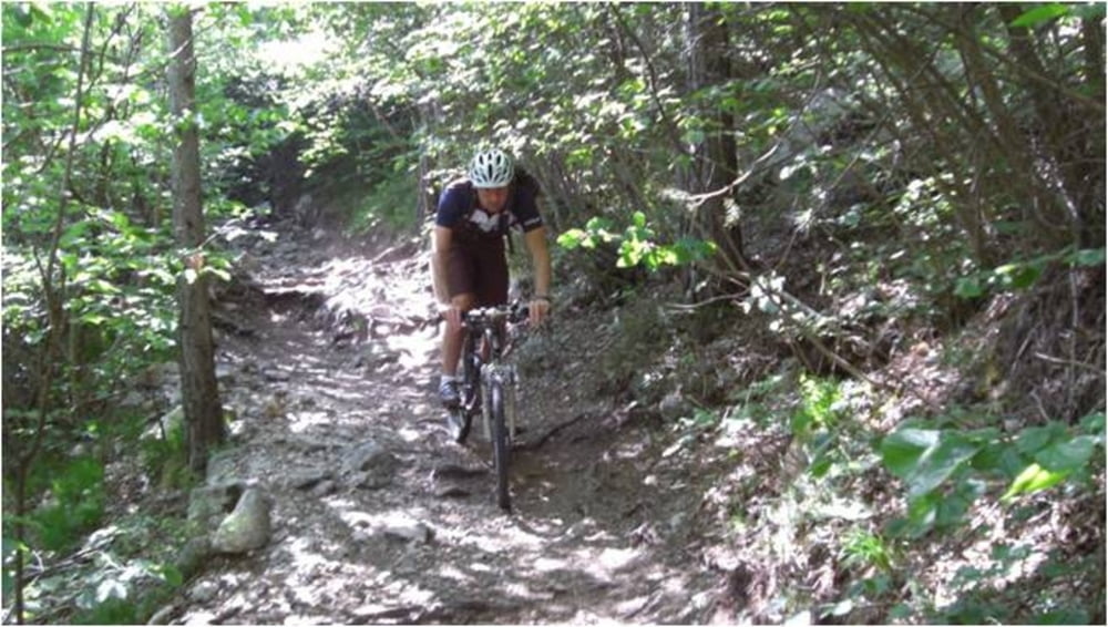
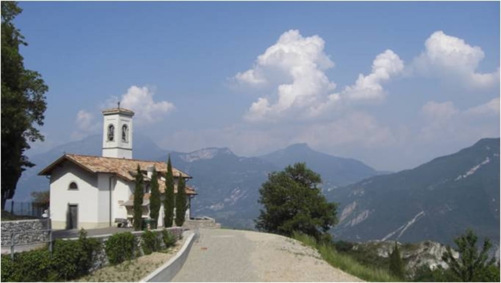
Über die Ponale geht es zum Ledrosee. Nach einer ausgiebigen Rast folgen die 700 Hm bis Bocca dei Fortini. Die Aussicht entschädigt für die Strapazen beim Aufstieg. Bei der nächsten Pause am Baita Segalla (hier gibt es nur Getränke) stärken wir uns für die Abfahrt . Über Passo Guil (Aufstieg links über eine Wiese) gelangen wir zum Passo Rocchetta und fahren den 422 (anspruchsvoller und beeindruckender Trail). Über Malga Palaer geht es nach Pregasina und weiter nach Riva. Wer die Augen offen hält, wird auch hier noch einige Trails finden.
Further information at
http://www.Schliesser-Bike.deGalerie du tour
Carte du tour et altitude
Minimum height 59 m
Maximum height 1251 m
More about the tour author
|
|
mtb-tom |
Commentaires
Tracks GPS
Trackpoints-
GPX / Garmin Map Source (gpx) download
-
TCX / Garmin Training Center® (tcx) download
-
CRS / Garmin Training Center® (crs) download
-
Google Earth (kml) download
-
G7ToWin (g7t) download
-
TTQV (trk) download
-
Overlay (ovl) download
-
Fugawi (txt) download
-
Kompass (DAV) Track (tk) download
-
Feuille de tours (pdf) download
-
Original file of the author (gpx) download
More about the tour author
|
|
mtb-tom |
Add to my favorites
Remove from my favorites
Edit tags
Open track
My score
Rate
Schiebepassage