


Aufstieg: 1Std. 50min.
Abfahrt: 32min.
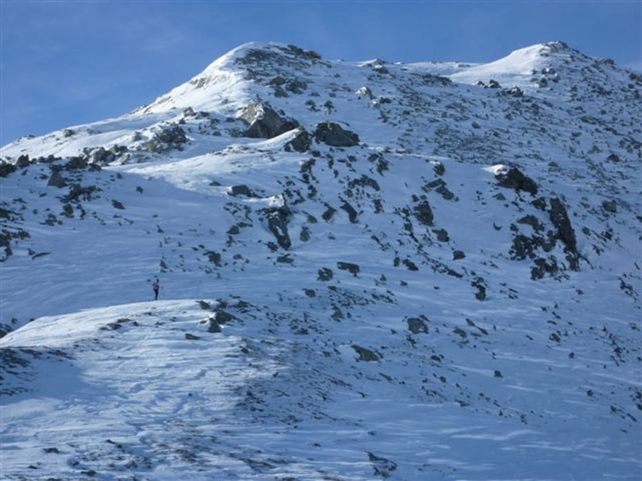
Vom Sadnighaus dem Weg Richtung Astner Boden in nördlicher Richtung folgen und in dem leichten Tal in Richtung Göritzer Törl.
Kurz davor folgt man dem Rücken linkshaltend zum Gipfel.
Abfahrt wie aufstieg.
Further information at
http://www.hohetauern.at/Galerie du tour

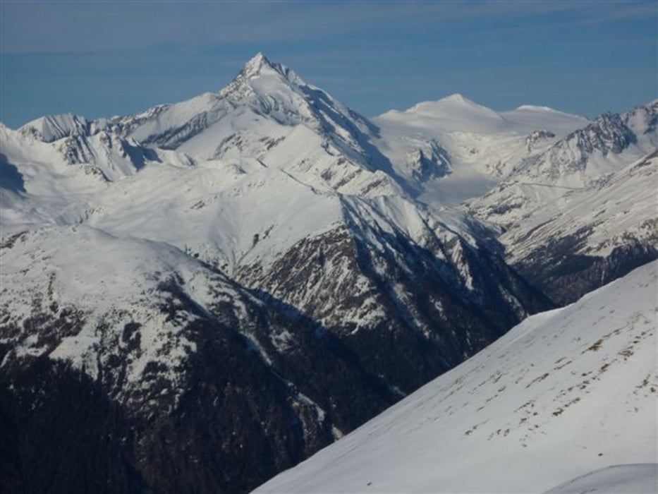

Carte du tour et altitude
Minimum height 1898 m
Maximum height 2613 m
More about the tour author
|
|
harald07071 |
Commentaires

Von Mörtschach im Mölltal entlang der 10km langen, in der Regel gut geräumte Straße ins Astental bis zum Parkplatz am ende der Straße.
(Schneeketten nicht vergessen)
Tracks GPS
Trackpoints-
GPX / Garmin Map Source (gpx) download
-
TCX / Garmin Training Center® (tcx) download
-
CRS / Garmin Training Center® (crs) download
-
Google Earth (kml) download
-
G7ToWin (g7t) download
-
TTQV (trk) download
-
Overlay (ovl) download
-
Fugawi (txt) download
-
Kompass (DAV) Track (tk) download
-
Feuille de tours (pdf) download
-
Original file of the author (gpx) download
More about the tour author
|
|
harald07071 |
Add to my favorites
Remove from my favorites
Edit tags
Open track
My score
Rate