Login

Login oublié ?

Cookies have to be accepted!
Your browser's cookie functionality is disabled. Please enable this functionality.

Not a member yet?

Register now
Login

Available for registred users only

Log in to use this feature.

Login oublié ?

Cookies have to be accepted!
Your browser's cookie functionality is disabled. Please enable this functionality.

Not a member yet?

Register now
Filter
Catégories
Advanced filters
  • Longueur (km)
  • Altimètre
Enregistrer le filtre Reset filter

TrackRank

QRCode

Technical data

Longueur44,6 km Altimètre554 m Way down586 m Durée03:00 h:m Date05.02.2011
Evaluations Author Paysage Aspect amusement Condition Technique

Statistiques

226 Vues Evaluations 9 Téléchargements Moyenne
Rate
  • Feuille de tours
  • Arrivée
  • Téléchargements

von Laubach üder den Schinderhannesradweg nach Lingerhahn>Sportplatz>Autobahnbrücke am Nenzhäuserhof>halber Weg zum Aldegundismarkt rechts ab um den Trummelskopf herum>Damscheid>Richtung Wiebelsheim>im Tal angekommen ein kurzes Stück nach rechts Richtung Wiebelsheim dann links in das Bachtal> steil durch den Wald hinauf am Gesessberg vorbei>Wiebelsheim>um den Luftekopf herum nach Lingerhahn zurück nach Laubach.

Further information at
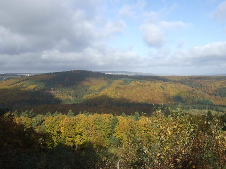
http://www.fahrrad-binz.de/

Carte du tour et altitude

  • Open Street Map
  • Google
Minimum height 263 m Maximum height 564 m Vue de détail

More about the tour author

Dakota_20
Member since 2011

Send private message

Commentaires

Tracks GPS

Trackpoints
  • GPX / Garmin Map Source (gpx) download
  • TCX / Garmin Training Center® (tcx) download
  • CRS / Garmin Training Center® (crs) download
  • Google Earth (kml) download
  • G7ToWin (g7t) download
  • TTQV (trk) download
  • Overlay (ovl) download
  • Fugawi (txt) download
  • Kompass (DAV) Track (tk) download
  • Feuille de tours (pdf) download
  • Original file of the author (gpx) download

More about the tour author

Dakota_20
Member since 2011

Send private message
Share track
Add to my favorites
Remove from my favorites
Edit tags
My score
Rate
Tour: Gipfelsprung (vom Trummelskopf an den Gesessberg)
Cat.: Mountainbike
Longueur: 44,6 km
Evaluated on:
Durée:
Day(s)
Hour(s)
Minute(s)
Evaluation: Paysage Aspect amusement Condition Technique