


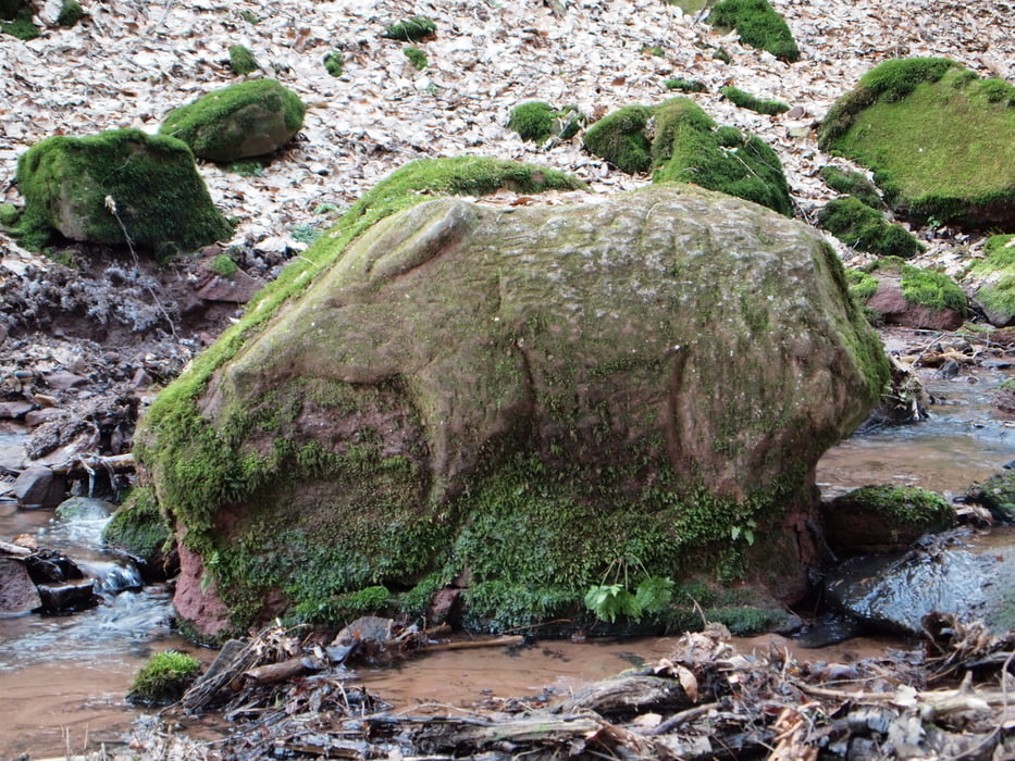
Abwechslungsreicher Wanderweg, geprägt durch zahlreiche Aussichtspunkte und vielfältiges Landschaftsbild, gewürzt durch zwei schöne Weiheranlagen, einen Steinbruch und eine besonders reizvolle Kerbschlucht.
Der Name des Weges leitet sich ab vom Bergrücken „Schauinsland“, welcher oberhalb dem Neunkirchener Ortsteil Hangard liegt. Hier liegt auch einer der 13 großartigen Aussichtspunkte, welche dem Weg seinen Charakter geben und –nebenbei - auch seinem Namen alle Ehre machen.
Further information at
http://www.Schauinslandweg.deGalerie du tour
Carte du tour et altitude
Minimum height 176 m
Maximum height 401 m
More about the tour author

|
goodlooky |
Commentaires

Startpunkt: Fischweiher Randsbach
Alternative : Hofplatzweg Hangard
Parken: Parkplatz am Fischweiher Randsbach an L124 ( Wiebelskirchen - Ottweiler)
Öffentlicher Nahverkehr: Bhf Neunkirchen oder Bhf Ottweiler, Buslinie NVG 302,
(außer Sa Nachmittag und Sonntag)
Haltestelle Schafbrücker Mühle, 20 m zum Startpunkt
Tracks GPS
Trackpoints-
GPX / Garmin Map Source (gpx) download
-
TCX / Garmin Training Center® (tcx) download
-
CRS / Garmin Training Center® (crs) download
-
Google Earth (kml) download
-
G7ToWin (g7t) download
-
TTQV (trk) download
-
Overlay (ovl) download
-
Fugawi (txt) download
-
Kompass (DAV) Track (tk) download
-
Feuille de tours (pdf) download
-
Original file of the author (gpx) download
More about the tour author
|
|
goodlooky |
Add to my favorites
Remove from my favorites
Edit tags
Open track
My score
Rate