Login

Login oublié ?

Cookies have to be accepted!
Your browser's cookie functionality is disabled. Please enable this functionality.

Not a member yet?

Register now
Login

Available for registred users only

Log in to use this feature.

Login oublié ?

Cookies have to be accepted!
Your browser's cookie functionality is disabled. Please enable this functionality.

Not a member yet?

Register now
Filter
Catégories
Advanced filters
  • Longueur (km)
  • Altimètre
Enregistrer le filtre Reset filter

TrackRank

QRCode

Technical data

Longueur32,8 km Altimètre318 m Way down341 m Durée02:37 h:m Date13.02.2011
Evaluations Author Paysage Aspect amusement Condition Technique

Statistiques

220 Vues Evaluations 36 Téléchargements Moyenne
Rate
  • Feuille de tours
  • Arrivée
  • Téléchargements
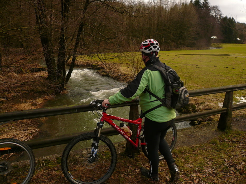
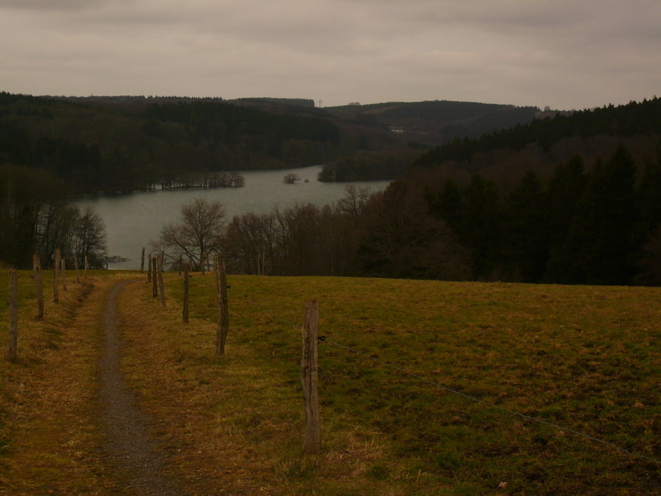
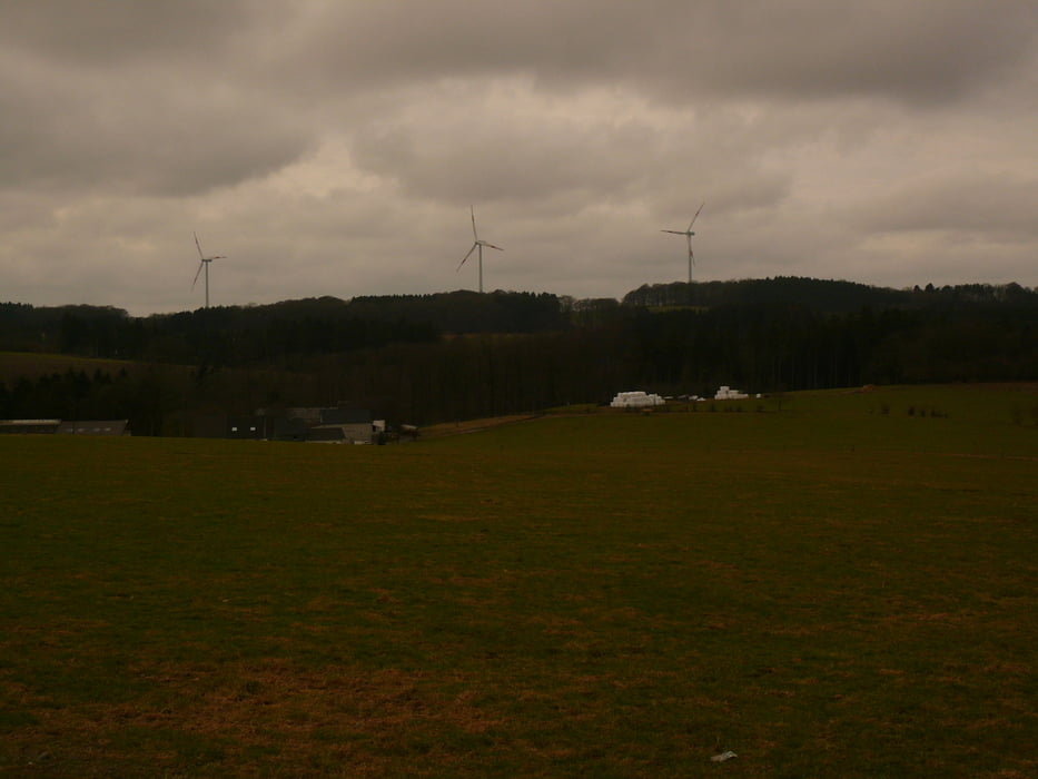
Tour zum Einrollen in die Saison. Einen Teil um die Sperre darf man eigentlich nicht befahren, wird aber geduldet (bei Bikern). 

Further information at

http://www.halver.de

Galerie du tour

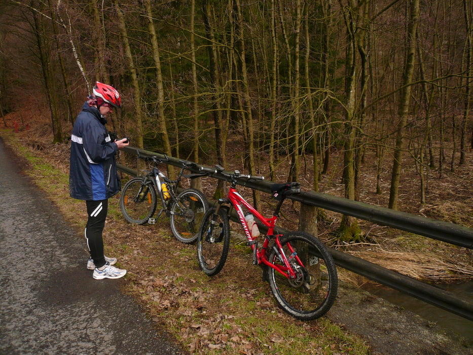
Carte du tour et altitude

  • Open Street Map
  • Google
Minimum height 298 m Maximum height 440 m Vue de détail

More about the tour author

neuser
Member since 2010

Send private message

Commentaires

Tracks GPS

Trackpoints
  • GPX / Garmin Map Source (gpx) download
  • TCX / Garmin Training Center® (tcx) download
  • CRS / Garmin Training Center® (crs) download
  • Google Earth (kml) download
  • G7ToWin (g7t) download
  • TTQV (trk) download
  • Overlay (ovl) download
  • Fugawi (txt) download
  • Kompass (DAV) Track (tk) download
  • Feuille de tours (pdf) download
  • Original file of the author (gpx) download

More about the tour author

neuser
Member since 2010

Send private message
Share track
Add to my favorites
Remove from my favorites
Edit tags
My score
Rate
Tour: Halver-Um die Ennepe
Cat.: Mountainbike
Longueur: 32,8 km
Evaluated on:
Durée:
Day(s)
Hour(s)
Minute(s)
Evaluation: Paysage Aspect amusement Condition Technique