Login

Login oublié ?

Cookies have to be accepted!
Your browser's cookie functionality is disabled. Please enable this functionality.

Not a member yet?

Register now
Login

Available for registred users only

Log in to use this feature.

Login oublié ?

Cookies have to be accepted!
Your browser's cookie functionality is disabled. Please enable this functionality.

Not a member yet?

Register now
Filter
Catégories
Advanced filters
  • Longueur (km)
  • Altimètre
Enregistrer le filtre Reset filter

TrackRank

QRCode

Technical data

Longueur12,5 km Altimètre481 m Way down348 m Durée03:00 h:m Date20.04.2007
Evaluations Author User Paysage Aspect amusement Condition Technique

Statistiques

2497 Vues 3 Evaluations 154 Téléchargements 3.00 Moyenne
Rate
  • Feuille de tours
  • Arrivée
  • Téléchargements
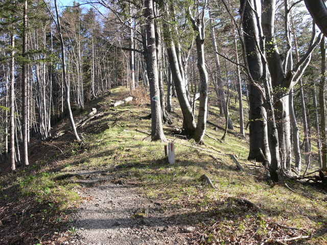
Gemütliche Halbtagstour zur Araburg. Der Burgturm bietet einen perfekten Rundumblick auf die Umgebung (Schneeberg, Peilstein, Voralpen,..), im Burgstüberl gibt es Erfrischungen. Der Rückweg über den Veiglkogel sorgt für etwas Abwechslung, aber auch der Kieneck mit der Enzianhütte wäre nur 1,5 Stunden entfernt.

Further information at

http://de.wikipedia.org/wiki/Araburg

Galerie du tour

Carte du tour et altitude

  • Open Street Map
  • Google
Minimum height 409 m Maximum height 836 m Vue de détail

More about the tour author

gerhardg
Member since 2006

Send private message

Commentaires

Harald on 20.10.2007

Araburg Furth Weissenbach

Hi,der Kogl liegt schön am weg Richtung(links,Triestingtal-rechts,Furth-Harass-Wolfsgrube wo man auf die Jägerin achten sollte(mit Hund aber eher lieb)Video auf meiner Home:biker66.blogr.at.Sehr schöne Strecke,ich selbst Wohne in 2571 Altenmarkt/Thenneberg 207.Man könnte in Furth ins Dürntal fahren zum Grubbauern-Hohewart-Wolfsgeist-Guglzipf,usw
Harald Kerschbaumer on 20.10.2007

Arschsattal

Hi,noch zu dem Foto im Wald.Genau da beim Bergauf wollte ich über den Baum und bin aus den clips und genau aufs A.loch.Aua.Sonst schöner Singletrail.
A2 Leobersdorf in Richtung Berndorf - Altenmarkt - Kaumberg. Ausreichend Parkmöglichkeiten in der nähe der Kirche.

Tracks GPS

Trackpoints
  • GPX / Garmin Map Source (gpx) download
  • TCX / Garmin Training Center® (tcx) download
  • CRS / Garmin Training Center® (crs) download
  • Google Earth (kml) download
  • G7ToWin (g7t) download
  • TTQV (trk) download
  • Overlay (ovl) download
  • Fugawi (txt) download
  • Kompass (DAV) Track (tk) download
  • Feuille de tours (pdf) download
  • Original file of the author (gpx) download

More about the tour author

gerhardg
Member since 2006

Send private message
Share track
Add to my favorites
Remove from my favorites
Edit tags
My score
Rate
Tour: Araburg - Veiglkogl
Cat.: Randonnées
Longueur: 12,5 km
Evaluated on:
Durée:
Day(s)
Hour(s)
Minute(s)
Evaluation: Paysage Aspect amusement Condition Technique