Login

Login oublié ?

Cookies have to be accepted!
Your browser's cookie functionality is disabled. Please enable this functionality.

Not a member yet?

Register now
Login

Available for registred users only

Log in to use this feature.

Login oublié ?

Cookies have to be accepted!
Your browser's cookie functionality is disabled. Please enable this functionality.

Not a member yet?

Register now
Filter
Catégories
Advanced filters
  • Longueur (km)
  • Altimètre
Enregistrer le filtre Reset filter

TrackRank

QRCode

Technical data

Longueur9,5 km Altimètre538 m Way down489 m Durée05:00 h:m Date01.03.2011
Evaluations Author Paysage Aspect amusement Condition Technique

Statistiques

394 Vues Evaluations 73 Téléchargements Moyenne
Rate
  • Feuille de tours
  • Arrivée
  • Téléchargements
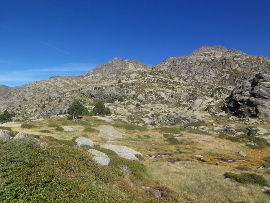
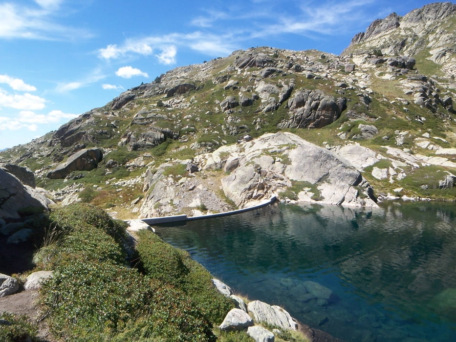
 Leichte Wanderung zum Stausee Estanys de Juclar. Der Weg ist gut mit einer rot-weißen Markierung gekennzeichnet.

Galerie du tour

Carte du tour et altitude

  • Open Street Map
  • Google
Minimum height 1836 m Maximum height 2342 m Vue de détail

More about the tour author

Emma
Member since 2010

Send private message

Commentaires

Ausgangspunkt der Wanderung ist das Vall d´Ingles  (von Soldeu in Richtung Andorra La Vella rechts abbiegen)

Tracks GPS

Trackpoints
  • GPX / Garmin Map Source (gpx) download
  • TCX / Garmin Training Center® (tcx) download
  • CRS / Garmin Training Center® (crs) download
  • Google Earth (kml) download
  • G7ToWin (g7t) download
  • TTQV (trk) download
  • Overlay (ovl) download
  • Fugawi (txt) download
  • Kompass (DAV) Track (tk) download
  • Feuille de tours (pdf) download
  • Original file of the author (gpx) download

More about the tour author

Emma
Member since 2010

Send private message
Share track
Add to my favorites
Remove from my favorites
Edit tags
My score
Rate
Tour: Vall d'Incles zu den Estanys de Juclar
Cat.: Randonnées
Longueur: 9,5 km
Evaluated on:
Durée:
Day(s)
Hour(s)
Minute(s)
Evaluation: Paysage Aspect amusement Condition Technique