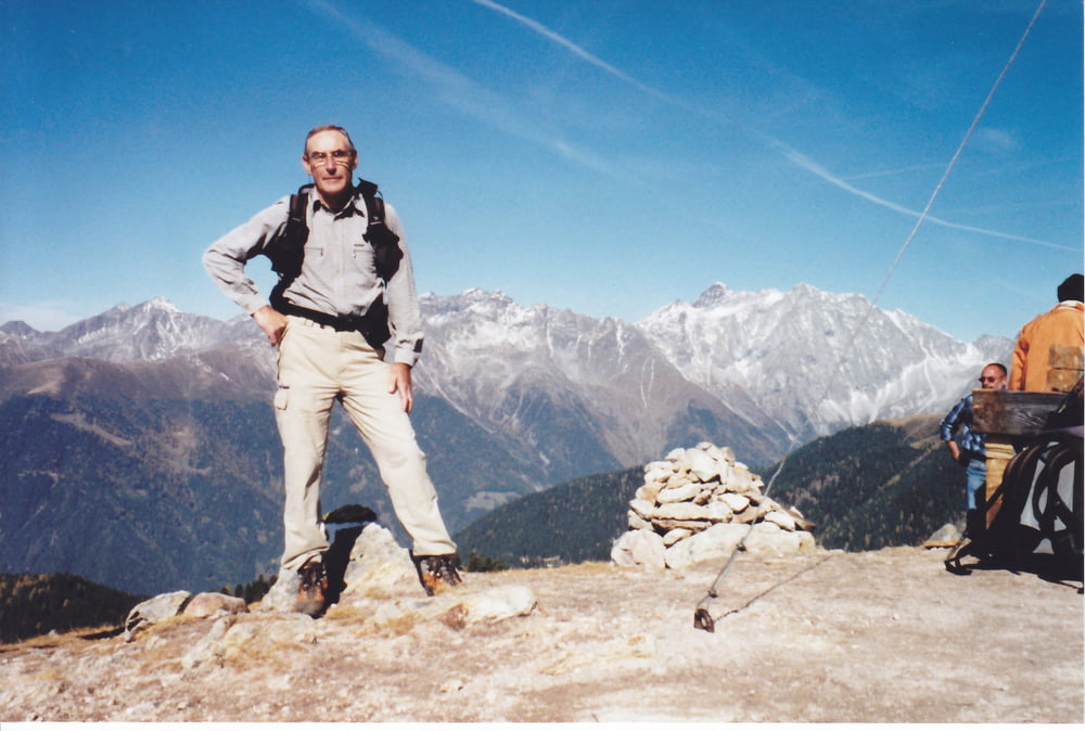
NB:ITINERARIO ESTIVO
Da Anterselva di sotto (parcheggio presso chiesetta con cimitero all'inizio del paese)attraversiamo il ponte
sul rio di Anterselva dirigendoci verso i masi Walder,li oltrepassiamo e con il sentiero 31b raggiungiamo la
Langegger alm.Abbandoniamo il 31b per salire ripidamente nel bosco risbucando sul 31b che seguiamo fino
alla Taistner hinteralm.Prendiamo il sentiero 38 abbandonandolo all'incrocio con il sentiero 31 che seguiamo
arrivando in cima al Durakopf.Sempre seguendo il 31 ci portiamo all'incrocio con il 31b,proseguiamo e
saliamo in cima al monte Lutta.Ritorniamo sui nostri passi fino al precedente incrocio e seguendo il 31b
scendiamo alla Brunner Wiese.Proseguiamo lungamente per strada forestale fino ad incrociare un segno
bianco/rosso su un albero che ci fà abbassare nel bosco.Con percorso non obbligato scendiamo fino ad
incrociare la strada forestale che ci riporta alla Langegger alm.Da questo punto come la salita.
Carte du tour et altitude
Commentaires

Tracks GPS
Trackpoints-
GPX / Garmin Map Source (gpx) download
-
TCX / Garmin Training Center® (tcx) download
-
CRS / Garmin Training Center® (crs) download
-
Google Earth (kml) download
-
G7ToWin (g7t) download
-
TTQV (trk) download
-
Overlay (ovl) download
-
Fugawi (txt) download
-
Kompass (DAV) Track (tk) download
-
Feuille de tours (pdf) download
-
Original file of the author (gpx) download


