Login

Login oublié ?

Cookies have to be accepted!
Your browser's cookie functionality is disabled. Please enable this functionality.

Not a member yet?

Register now
Login

Available for registred users only

Log in to use this feature.

Login oublié ?

Cookies have to be accepted!
Your browser's cookie functionality is disabled. Please enable this functionality.

Not a member yet?

Register now
Filter
Catégories
Advanced filters
  • Longueur (km)
  • Altimètre
Enregistrer le filtre Reset filter

TrackRank

QRCode

Technical data

Longueur86,4 km Altimètre202 m Way down203 m Durée04:18 h:m Date06.03.2011
Evaluations Author Paysage Aspect amusement Condition Technique

Statistiques

323 Vues Evaluations 11 Téléchargements Moyenne
Rate
  • Feuille de tours
  • Arrivée
  • Téléchargements
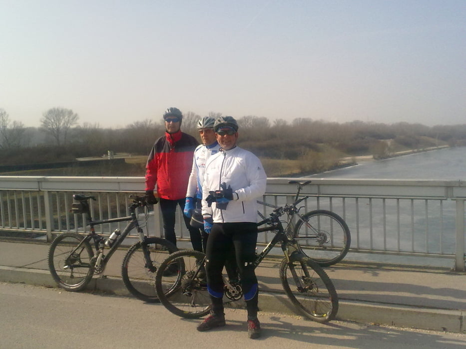
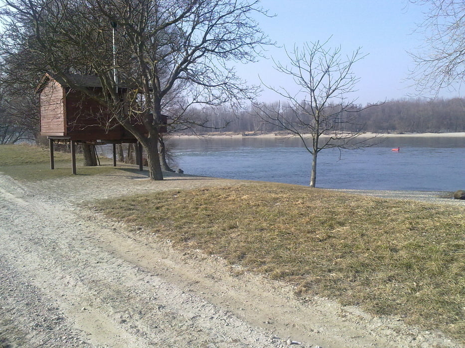
Von Unterwalterdorf nach Mitterndorf, Velm, Himberg, am Eurovelo 9 bis Schwechat, auf die Donauinsel bis zur Steinspornbrücke, nach Süden zum Wehr 2, die Donauauen entlang bis Fischamend, über Schwadorf und Ebergassing nach Mitterndorf und wieder zurück nach Unterwaltersdorf

Galerie du tour

Carte du tour et altitude

  • Open Street Map
  • Google
Minimum height 140 m Maximum height 183 m Vue de détail

More about the tour author

Radclub-Trumau
Member since 2011

Send private message

Commentaires

Tracks GPS

Trackpoints
  • GPX / Garmin Map Source (gpx) download
  • TCX / Garmin Training Center® (tcx) download
  • CRS / Garmin Training Center® (crs) download
  • Google Earth (kml) download
  • G7ToWin (g7t) download
  • TTQV (trk) download
  • Overlay (ovl) download
  • Fugawi (txt) download
  • Kompass (DAV) Track (tk) download
  • Feuille de tours (pdf) download
  • Original file of the author (tcx) download

More about the tour author

Radclub-Trumau
Member since 2011

Send private message
Share track
Add to my favorites
Remove from my favorites
Edit tags
My score
Rate
Tour: Donauauen
Cat.: Mountainbike
Longueur: 86,4 km
Evaluated on:
Durée:
Day(s)
Hour(s)
Minute(s)
Evaluation: Paysage Aspect amusement Condition Technique