

Oggi propongo un itinerario tecnicamente non impegnativo. Il tracciato si svolge prevalentemente su strade e sentieri senza particolari difficoltà. Questo itinerario permette anche ai meno esperti o a quelli alle prime armi di gustare il bosco e la natura della zona senza doversi concentrare sul sottofondo e anche le salite e le discese sono senza pericoli e sicuramente adatti anche ai più giovani. Ovvio che si puo accorciare o rendere più impegnativo il giro con l'aiuto delle altre tracce.
Il percorso tocca i punti più interessanti della zona come il paesino di Cornaiano e i due laghi di Monticolo.
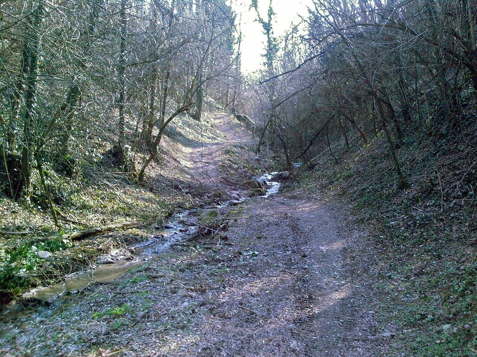
Galerie du tour


Carte du tour et altitude
Minimum height 218 m
Maximum height 615 m
More about the tour author
|
|
EmilG |
Commentaires

La partenza è come le altre volte alla stazione FS di Laives.
Ampio parcheggio, attenzione alle barre limitatrici se portate le bici sul tetto della macchina.
Tracks GPS
Trackpoints-
GPX / Garmin Map Source (gpx) download
-
TCX / Garmin Training Center® (tcx) download
-
CRS / Garmin Training Center® (crs) download
-
Google Earth (kml) download
-
G7ToWin (g7t) download
-
TTQV (trk) download
-
Overlay (ovl) download
-
Fugawi (txt) download
-
Kompass (DAV) Track (tk) download
-
Feuille de tours (pdf) download
-
Original file of the author (gpx) download
More about the tour author
|
|
EmilG |
Add to my favorites
Remove from my favorites
Edit tags
Open track
My score
Rate