Login

Login oublié ?

Cookies have to be accepted!
Your browser's cookie functionality is disabled. Please enable this functionality.

Not a member yet?

Register now
Login

Available for registred users only

Log in to use this feature.

Login oublié ?

Cookies have to be accepted!
Your browser's cookie functionality is disabled. Please enable this functionality.

Not a member yet?

Register now
Filter
Catégories
Advanced filters
  • Longueur (km)
  • Altimètre
Enregistrer le filtre Reset filter

TrackRank

QRCode

Technical data

Longueur37,6 km Altimètre581 m Way down556 m Durée02:00 h:m Date11.03.2011
Evaluations Author Paysage Aspect amusement Condition Technique

Statistiques

222 Vues Evaluations 20 Téléchargements Moyenne
Rate
  • Feuille de tours
  • Arrivée
  • Téléchargements

Auf dieser Tour sollen schnell "Höhenmeter" gemacht werden.

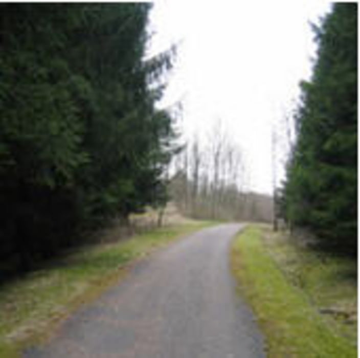
Die Tour startet in Sindelfingen und führt ausschliesslich durch den Wald nach Möhringen.

Kurze Routenbeschreibung:

Sindelfingen-Katzenbacher Hof-Vaihingen-Möhringen (Bauhaus) --> Sindelfingen

Carte du tour et altitude

  • Open Street Map
  • Google
Minimum height 414 m Maximum height 609 m Vue de détail

More about the tour author

cdalkmann
Member since 2008

Send private message

Commentaires

folgt

Tracks GPS

Trackpoints
  • GPX / Garmin Map Source (gpx) download
  • TCX / Garmin Training Center® (tcx) download
  • CRS / Garmin Training Center® (crs) download
  • Google Earth (kml) download
  • G7ToWin (g7t) download
  • TTQV (trk) download
  • Overlay (ovl) download
  • Fugawi (txt) download
  • Kompass (DAV) Track (tk) download
  • Feuille de tours (pdf) download
  • Original file of the author (gpx) download

More about the tour author

cdalkmann
Member since 2008

Send private message
Share track
Add to my favorites
Remove from my favorites
Edit tags
My score
Rate
Tour: Sindelfingen_Vaihingen_Möhringen und retour
Cat.: Mountainbike
Longueur: 37,6 km
Evaluated on:
Durée:
Day(s)
Hour(s)
Minute(s)
Evaluation: Paysage Aspect amusement Condition Technique