Login

Login oublié ?

Cookies have to be accepted!
Your browser's cookie functionality is disabled. Please enable this functionality.

Not a member yet?

Register now
Login

Available for registred users only

Log in to use this feature.

Login oublié ?

Cookies have to be accepted!
Your browser's cookie functionality is disabled. Please enable this functionality.

Not a member yet?

Register now
Filter
Catégories
Advanced filters
  • Longueur (km)
  • Altimètre
Enregistrer le filtre Reset filter

TrackRank

QRCode

Technical data

Longueur54,7 km Altimètre1339 m Way down1318 m Durée01:57 h:m Date30.03.2011
Evaluations Author Paysage Aspect amusement Condition Technique

Statistiques

587 Vues Evaluations 63 Téléchargements Moyenne
Rate
  • Feuille de tours
  • Arrivée
  • Téléchargements

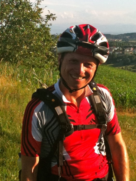
Start der wöchentlichen Dienstagsausfahrt der Katsdorfer Naturfreunde bei RAIKA Katsdorf.

wieder eine Super Tour ausgesucht von unserem GÜ.

Mit dabei GÜ, Alberto, Margit, Jürgen, Klaus und Andy mit dem obligaten Abschlussbier beim Stofferl am UNION Platz.

Galerie du tour

Carte du tour et altitude

  • Open Street Map
  • Google
Minimum height 291 m Maximum height 657 m Vue de détail

More about the tour author

andy130
Member since 2007

Send private message

Commentaires

Tracks GPS

Trackpoints
  • GPX / Garmin Map Source (gpx) download
  • TCX / Garmin Training Center® (tcx) download
  • CRS / Garmin Training Center® (crs) download
  • Google Earth (kml) download
  • G7ToWin (g7t) download
  • TTQV (trk) download
  • Overlay (ovl) download
  • Fugawi (txt) download
  • Kompass (DAV) Track (tk) download
  • Feuille de tours (pdf) download
  • Original file of the author (gpx) download

More about the tour author

andy130
Member since 2007

Send private message
Share track
Add to my favorites
Remove from my favorites
Edit tags
My score
Rate
Tour: Katsdorf-Pfenningberg
Cat.: Mountainbike
Longueur: 54,7 km
Evaluated on:
Durée:
Day(s)
Hour(s)
Minute(s)
Evaluation: Paysage Aspect amusement Condition Technique