

Vom Gasthaus in der Kräh zuerst ca. 2 km zurück Richtung Ebensee marschieren, dann dem gut sichtbaren Wegweiser in Richtung Hochsteinalm folgen. In ca. 45 min sehr Steil durch den Wald hinauf auf die Hochsteinalm.
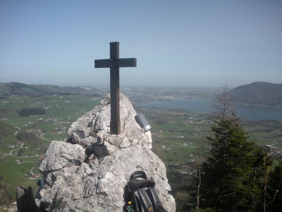
Hinter dem Gasthaus dem Wegweiser auf den Lärlkogel folgen. Der Aufstieg ist in ca. 35 min geschafft. Super Ausblick auf den Traunsee und den Traunstein.
Zurück zur Hochsteinalm und quer über die Alm am Forstweg Richtung Windlegern. Nach ca. 700 m rechts Richtung Kreh/Langbathsee abzweigen. Dann sehr steil durch den Wald in Serpentinen zurück zum Ausgangspunkt.
Galerie du tour


Carte du tour et altitude
Minimum height 611 m
Maximum height 995 m
More about the tour author
|
|
Fritzl71 |
Commentaires

Von Ebensee in Richtung Langbathseen weiterfahren, nach ca. 6 km beim Gasthaus in der Kräh parken.
Tracks GPS
Trackpoints-
GPX / Garmin Map Source (gpx) download
-
TCX / Garmin Training Center® (tcx) download
-
CRS / Garmin Training Center® (crs) download
-
Google Earth (kml) download
-
G7ToWin (g7t) download
-
TTQV (trk) download
-
Overlay (ovl) download
-
Fugawi (txt) download
-
Kompass (DAV) Track (tk) download
-
Feuille de tours (pdf) download
-
Original file of the author (gpx) download
More about the tour author
|
|
Fritzl71 |
Add to my favorites
Remove from my favorites
Edit tags
Open track
My score
Rate