


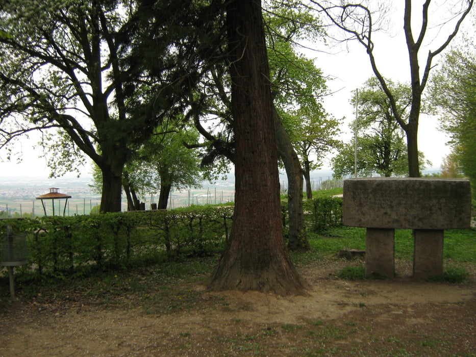
Von der Genossenschaftskelter in Weinstadt - Endersbach durch die Weinberge zum Aussichtspunkt "Karlstein".
Durch Wald und Streuobstwiesen hinab nach Weinstadt - Schnait und durch Weinberge hinauf zum Saffrichhof, am Hochbehälter der Landeswasserversorgung vorbei zum Aussichtspunkt "Drei Riesen".
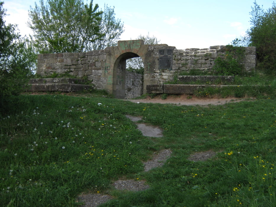
Durch die Weinberge hinab zur Ruine Kappelberg und Weinstadt - Beutelsbach.
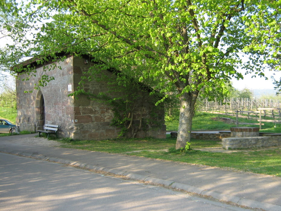
Den Ort durchqueren und weiter zum "Käppele" und entlang von Weinberge zurück zum Ausgangspunkt.
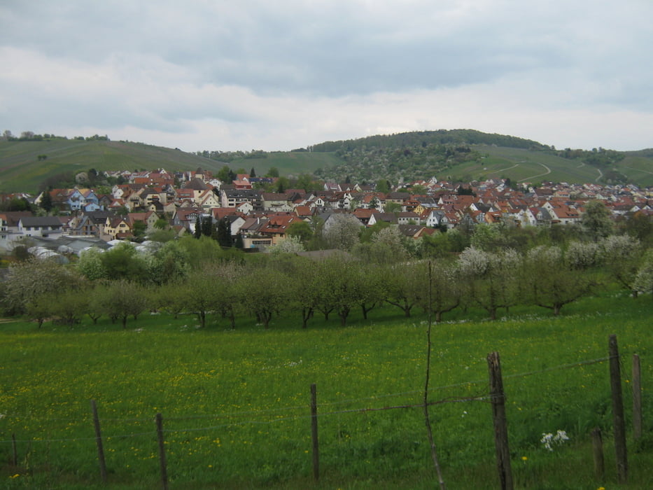
Auf der ganzen Strecke hat man immer wieder eine schöne Sicht in das Remstal und auf die Hänge des Schurwaldes
Galerie du tour
Carte du tour et altitude
Minimum height 241 m
Maximum height 429 m
More about the tour author

|
olker65 |
Commentaires

Parkmöglichkeiten gibt es am Ortseingang von Weinstadt - Strümpfelbach beim Sportplatz, oder direkt an der Genossenschaftskelter.
Tracks GPS
Trackpoints-
GPX / Garmin Map Source (gpx) download
-
TCX / Garmin Training Center® (tcx) download
-
CRS / Garmin Training Center® (crs) download
-
Google Earth (kml) download
-
G7ToWin (g7t) download
-
TTQV (trk) download
-
Overlay (ovl) download
-
Fugawi (txt) download
-
Kompass (DAV) Track (tk) download
-
Feuille de tours (pdf) download
-
Original file of the author (gpx) download
More about the tour author
|
|
olker65 |
Add to my favorites
Remove from my favorites
Edit tags
Open track
My score
Rate