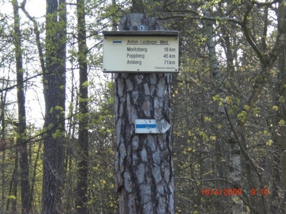
Schöner Weg von Amberg nach Nürnberg.
Hoher Anteil an Singletrails. Bis Alfeld relativ entspannt, danach Konditionell etwas anspruchsvoller.
Super von Bahnhof zu Bahnhof. Unterwegs gibt es leckere Möglichkeiten zur Einkehr
Carte du tour et altitude
Minimum height 324 m
Maximum height 655 m
Commentaires

Vom Amberger Bahnhof nach Nürnberg
Tracks GPS
Trackpoints-
GPX / Garmin Map Source (gpx) download
-
TCX / Garmin Training Center® (tcx) download
-
CRS / Garmin Training Center® (crs) download
-
Google Earth (kml) download
-
G7ToWin (g7t) download
-
TTQV (trk) download
-
Overlay (ovl) download
-
Fugawi (txt) download
-
Kompass (DAV) Track (tk) download
-
Feuille de tours (pdf) download
-
Original file of the author (tcx) download
Add to my favorites
Remove from my favorites
Edit tags
Open track
My score
Rate

