


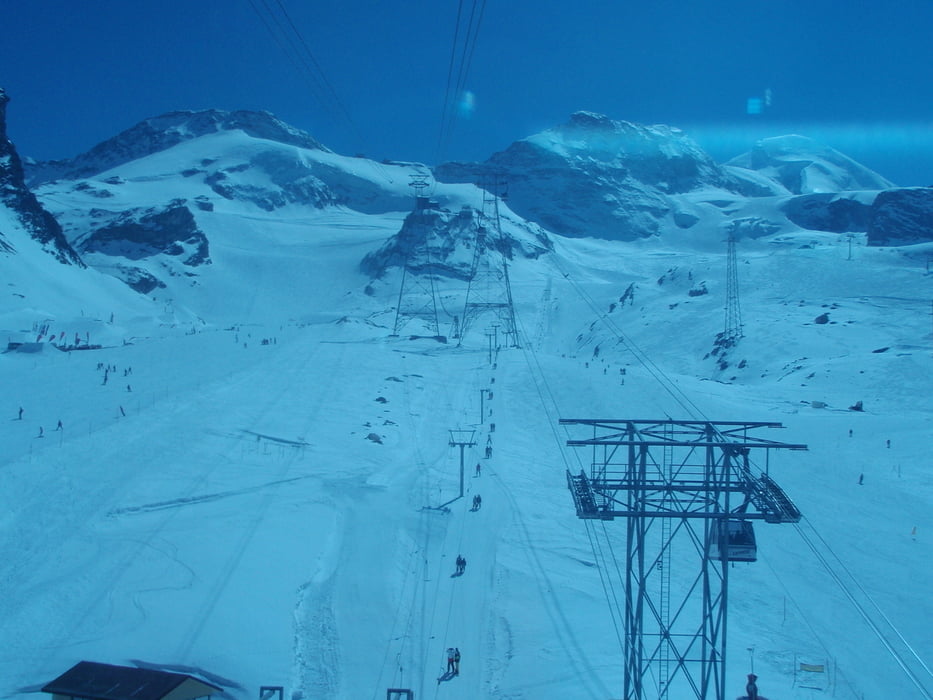
Mit dem Auto nach Saas Fee, dort muss das Auto in der Parkgarage (24h 17chf) abgestellt werden, und nach einem kurzen Fußmarsch zur Felskinnbahn kann der letzte Teil der Anreise zur Britanniahütte mit derselben (Einzelfahrt 27chf) von 1800müdM in 10minuten auf 3000müdM gemacht werden.
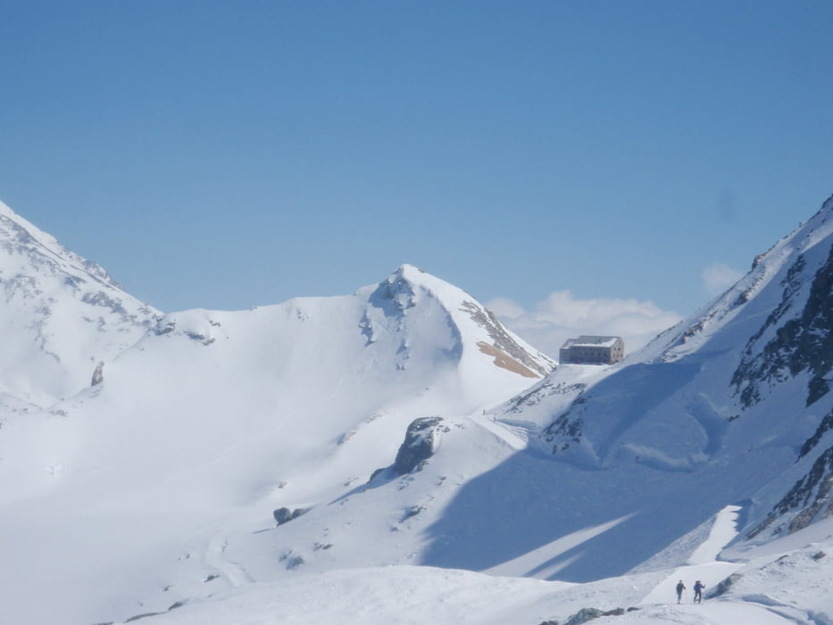
Von der Bergstation führt ein fast flacher Zustieg zur Britanniahütte welche auf 3030müdM liegt.
Further information at
http://www.britannia.ch/Galerie du tour
Carte du tour et altitude
Minimum height 1799 m
Maximum height 3044 m
More about the tour author
|
|
wueschi |
Commentaires

http://www.saas-fee.ch/de/accessing_resorts.cfm
Auto
Automobilisten aus dem Norden reisen über Bern durch den Lötschberg (Autoverlad), von Osten über den Furkapass (oder Autoverlad), von Süden über den Simplonpass an. Aus der Westschweiz erreichen Sie das Saastal über Lausanne, entlang dem Rhonetal bis Visp.
Tracks GPS
Trackpoints-
GPX / Garmin Map Source (gpx) download
-
TCX / Garmin Training Center® (tcx) download
-
CRS / Garmin Training Center® (crs) download
-
Google Earth (kml) download
-
G7ToWin (g7t) download
-
TTQV (trk) download
-
Overlay (ovl) download
-
Fugawi (txt) download
-
Kompass (DAV) Track (tk) download
-
Feuille de tours (pdf) download
-
Original file of the author (tcx) download
More about the tour author
|
|
wueschi |
Add to my favorites
Remove from my favorites
Edit tags
Open track
My score
Rate