


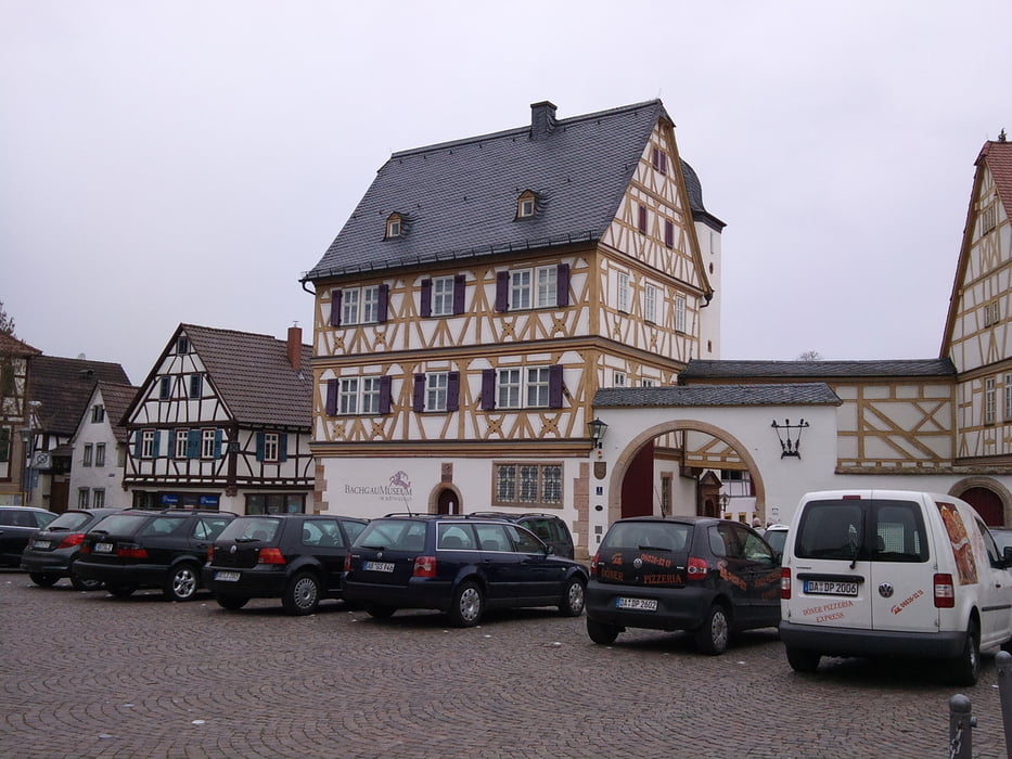
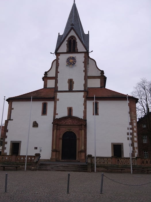
Wir haben das Auto an der Wetzelbachhalle in Großostheim abgestellt und sind von dort gestartet. Durch die Felder ging es nach Mömlingen und an der Mümling entlang nach Rai-Breitenbach. Der Waldweg nach Lützelbach ist teilweise ziemlich steil und wir mussten ein kleines Stück schieben. Weiter gings nach Wörth und von da am Main entlang nach Obernburg. Bei Großwllstadt haben wir den Main verlassen und haben den Fahrradweg zurück nach Großostheim genutzt. Insgesamt eine gemütlich Tour für 2.
Galerie du tour
Carte du tour et altitude
Minimum height 103 m
Maximum height 342 m
More about the tour author
|
|
Flachlandfahrer |
Commentaires

Mit dem Auto bis zur Wetzelbach Halle in Großostheim
Tracks GPS
Trackpoints-
GPX / Garmin Map Source (gpx) download
-
TCX / Garmin Training Center® (tcx) download
-
CRS / Garmin Training Center® (crs) download
-
Google Earth (kml) download
-
G7ToWin (g7t) download
-
TTQV (trk) download
-
Overlay (ovl) download
-
Fugawi (txt) download
-
Kompass (DAV) Track (tk) download
-
Feuille de tours (pdf) download
-
Original file of the author (gpx) download
More about the tour author
|
|
Flachlandfahrer |
Add to my favorites
Remove from my favorites
Edit tags
Open track
My score
Rate