


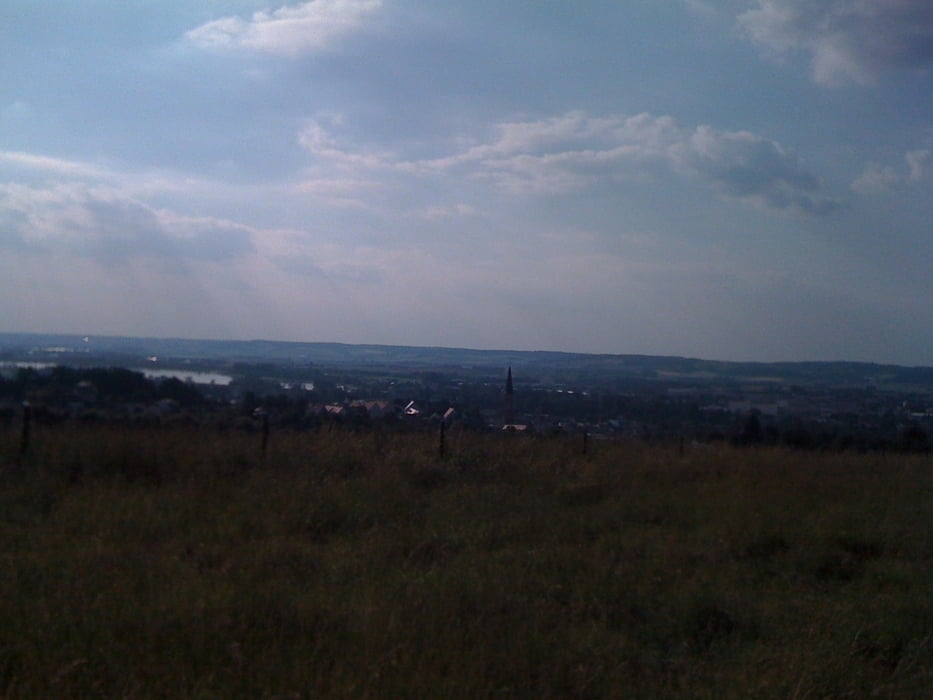
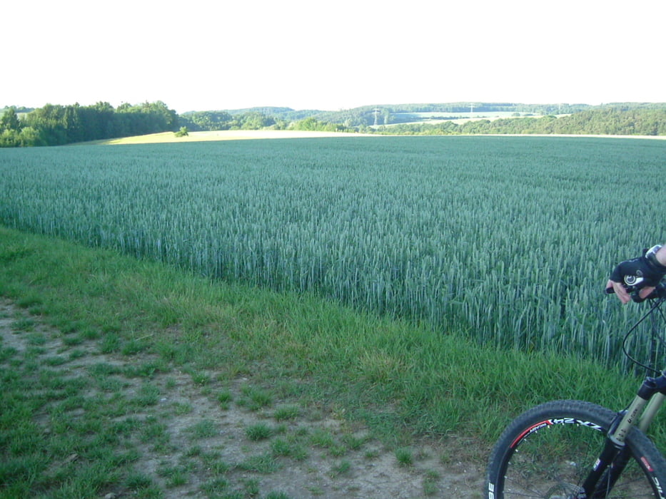
Eine Tour von DGF über Moosthenning nach Hailing und zurück. Über Wald-, Feld und Wiesenwege, weitgehend gut befahrbar. Für Kinder nicht geeignet, trainierte Jugendliche schaffen das - mit etwas Biss.
Start / Ziel: Lidlparkplatz an der Frontenhausener Str. alternativ kann auch am Info-Punkt/Bruckstadl in der Fischerei, der Kirche St. Josef oder der Kirche in Moosthenning gestartet werden.
Einkehr: An Sonn- und Feiertagen in der wunderschön im Wald gelegenen "Falterhütte".
Kaum Straßenverkehr. Fallweise geht es etwas holprig über Wurzeln und ganz wenig befahrene Waldpfade.
Galerie du tour
Carte du tour et altitude
Minimum height 352 m
Maximum height 468 m
More about the tour author
|
|
charly60 |
Commentaires

Dingolfing, Staatsstraße nach Frontenhausen. Am Ortsende findet sich der Lidl Verbrauchermarkt und normalerweise auch ein Parkplatz.
Tracks GPS
Trackpoints-
GPX / Garmin Map Source (gpx) download
-
TCX / Garmin Training Center® (tcx) download
-
CRS / Garmin Training Center® (crs) download
-
Google Earth (kml) download
-
G7ToWin (g7t) download
-
TTQV (trk) download
-
Overlay (ovl) download
-
Fugawi (txt) download
-
Kompass (DAV) Track (tk) download
-
Feuille de tours (pdf) download
-
Original file of the author (gpx) download
More about the tour author
|
|
charly60 |
Add to my favorites
Remove from my favorites
Edit tags
Open track
My score
Rate