
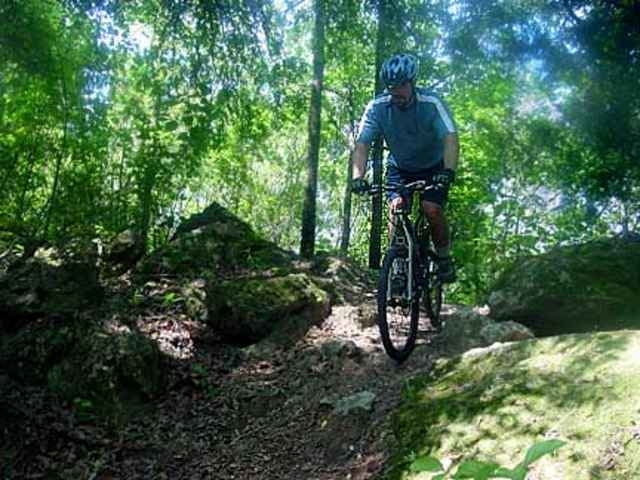

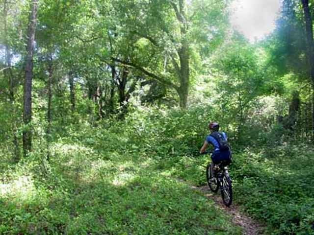
Flroida ist zwar nicht das Land der Berge (Sicherlich die flachste Tour, die ich jemals gefahren bin), aber es gibt auch dort Leute die schöne Trails anlegen. Unterschiedliche Schwierigkeitsgrade werden farblich gekennzeichnet. Fahrräder kann man in der Nähe des sogenannten Trailheads leihen. Beim Fahrradverleih startet deshalb auch der GPS-Track. Ich bin den laengsten Trail gefahren, es gibt aber etliche Variationsmöglichkeiten. Da es naturgemaess sehr trocken ist und Flüsse oder Bäche sowieso nicht vorhanden sind, sollte man sich ausreichend versorgen.
Ist auf jeden Fall ein Erlebnis, Flora und Fauna sind jedenfalls auch eine ganz andere als bei uns.
Weitere Infos gibt es unter
http://www.omba.org/
und
http://www.outdoortravels.com/biking_fl_overview_santos.html
Letzterer hat sogar ein einmintüiges Video eines Trail-rides zu bieten
Ist auf jeden Fall ein Erlebnis, Flora und Fauna sind jedenfalls auch eine ganz andere als bei uns.
Weitere Infos gibt es unter
http://www.omba.org/
und
http://www.outdoortravels.com/biking_fl_overview_santos.html
Letzterer hat sogar ein einmintüiges Video eines Trail-rides zu bieten
Galerie du tour
Carte du tour et altitude
Minimum height 3 m
Maximum height 38 m
More about the tour author

|
Commentaires

DIRECTIONS:
Directions to Santos: There are a bunch of ways. 1st. Off 1-75 take the exit 484 south of Ocala, where Don Garlits Museum is, head east to 475, north then onto 80th. Just before you get to 441 the trailhead parking lot and facilities are on the right. 2nd. Coming south on 441 from Ocala turn right on SE 80th Street, go about 100 yard and turn left.
Ich war in Orlando und bin mit einem Mietauto ca 1,5 bis 2 Stunden gefahren.
Tracks GPS
Trackpoints-
GPX / Garmin Map Source (gpx) download
-
TCX / Garmin Training Center® (tcx) download
-
CRS / Garmin Training Center® (crs) download
-
Google Earth (kml) download
-
G7ToWin (g7t) download
-
TTQV (trk) download
-
Overlay (ovl) download
-
Fugawi (txt) download
-
Kompass (DAV) Track (tk) download
-
Feuille de tours (pdf) download
-
Original file of the author (g7t) download
More about the tour author
|
|
Add to my favorites
Remove from my favorites
Edit tags
Open track
My score
Rate