

Track-Aufzeichnung der Tour 3 CTF Altweilnau am 6.5.07
Mountain-Bike Tour - Weiltal / Hochtauns - CTF für jedermann.
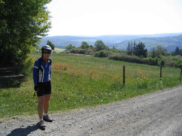
An den Waypoints K1 und K2 waren die Kontrollstellen an denen von freundlichen Helfern des TUS Weilnau Getränke und Obst gereicht wurden. Waypoint A1 markiert die Stelle, an der das 1. Foto aufgenommen wurde.
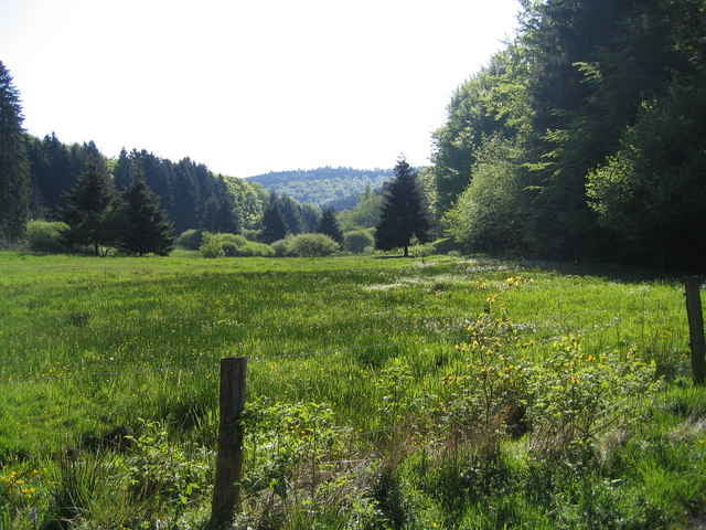
War eine tolle Veranstaltung, sehr abwechslungsreiche Strecke: tolle Landschaft und herrliche Ausblicke. Fahrtechnisch kein Problem, da die Strecke meist auf Schotterwegen verläuft, es wurden bei der CTF auch einige Crossbikes gesichtet.
Mountain-Bike Tour - Weiltal / Hochtauns - CTF für jedermann.
An den Waypoints K1 und K2 waren die Kontrollstellen an denen von freundlichen Helfern des TUS Weilnau Getränke und Obst gereicht wurden. Waypoint A1 markiert die Stelle, an der das 1. Foto aufgenommen wurde.
War eine tolle Veranstaltung, sehr abwechslungsreiche Strecke: tolle Landschaft und herrliche Ausblicke. Fahrtechnisch kein Problem, da die Strecke meist auf Schotterwegen verläuft, es wurden bei der CTF auch einige Crossbikes gesichtet.
Further information at
http://www.altweilnau.deGalerie du tour
Carte du tour et altitude
Minimum height 188 m
Maximum height 593 m
More about the tour author

|
Commentaires

Sportlerheim des TUS in Altweilnau, Merzhäuserstrasse
Tracks GPS
Trackpoints-
GPX / Garmin Map Source (gpx) download
-
TCX / Garmin Training Center® (tcx) download
-
CRS / Garmin Training Center® (crs) download
-
Google Earth (kml) download
-
G7ToWin (g7t) download
-
TTQV (trk) download
-
Overlay (ovl) download
-
Fugawi (txt) download
-
Kompass (DAV) Track (tk) download
-
Feuille de tours (pdf) download
-
Original file of the author (gpx) download
More about the tour author
|
|
Add to my favorites
Remove from my favorites
Edit tags
Open track
My score
Rate