


Von Haigerloch über Empfingen nach Fischingen. Anschliessend Richtung Sulz-Schillerhöhe und dann auf gut ausgebauten Wegen Richtung Alpirsbach. In Alpirsbach lohnt sich ein Besuch im Kloster - mehr noch aber in der Brauereigaststätte der Alpirsbacher Klosterbräu. Anschliessend zurück Richtung Leinstetten ins Glatttal. In Glatt kann man kurze Rast im Schlosscafe machen und anschliessend entlang Glatt und Neckar nach Fischingen, Mühlen am Bach, Empfingen nach Haigerloch zurück.
Die Tour ist bis auf eine kleine Passage nach Marschalkenzimmern auch Trecking-Bike tauglich - hier kann man Richtung Fluorn ausweichen.
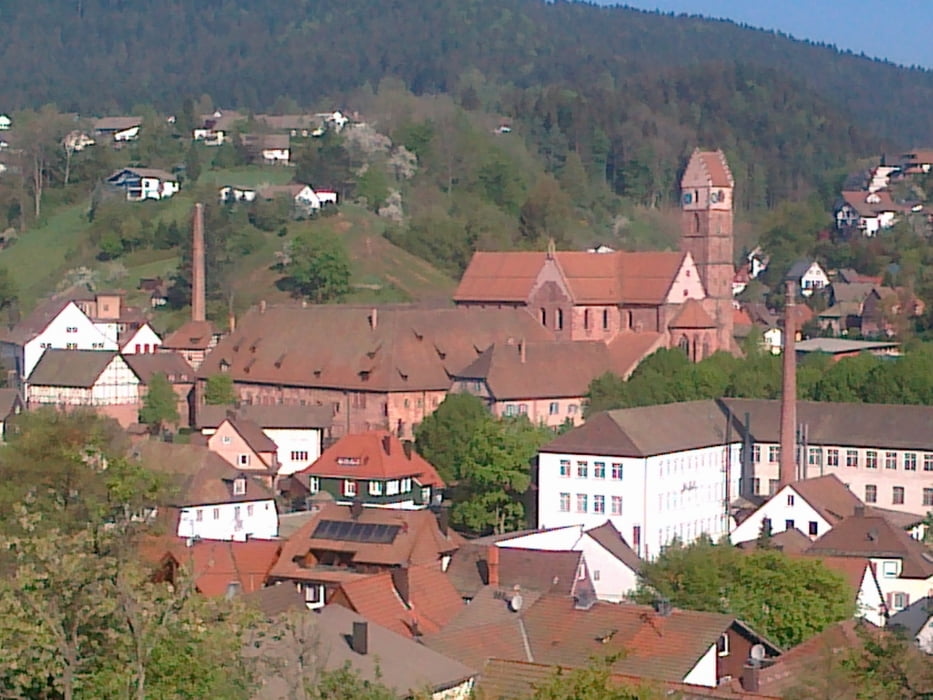
Galerie du tour
Carte du tour et altitude
Minimum height 410 m
Maximum height 692 m
More about the tour author

|
apfister |
Commentaires

Tracks GPS
Trackpoints-
GPX / Garmin Map Source (gpx) download
-
TCX / Garmin Training Center® (tcx) download
-
CRS / Garmin Training Center® (crs) download
-
Google Earth (kml) download
-
G7ToWin (g7t) download
-
TTQV (trk) download
-
Overlay (ovl) download
-
Fugawi (txt) download
-
Kompass (DAV) Track (tk) download
-
Feuille de tours (pdf) download
-
Original file of the author (gpx) download
More about the tour author
|
|
apfister |
Add to my favorites
Remove from my favorites
Edit tags
Open track
My score
Rate